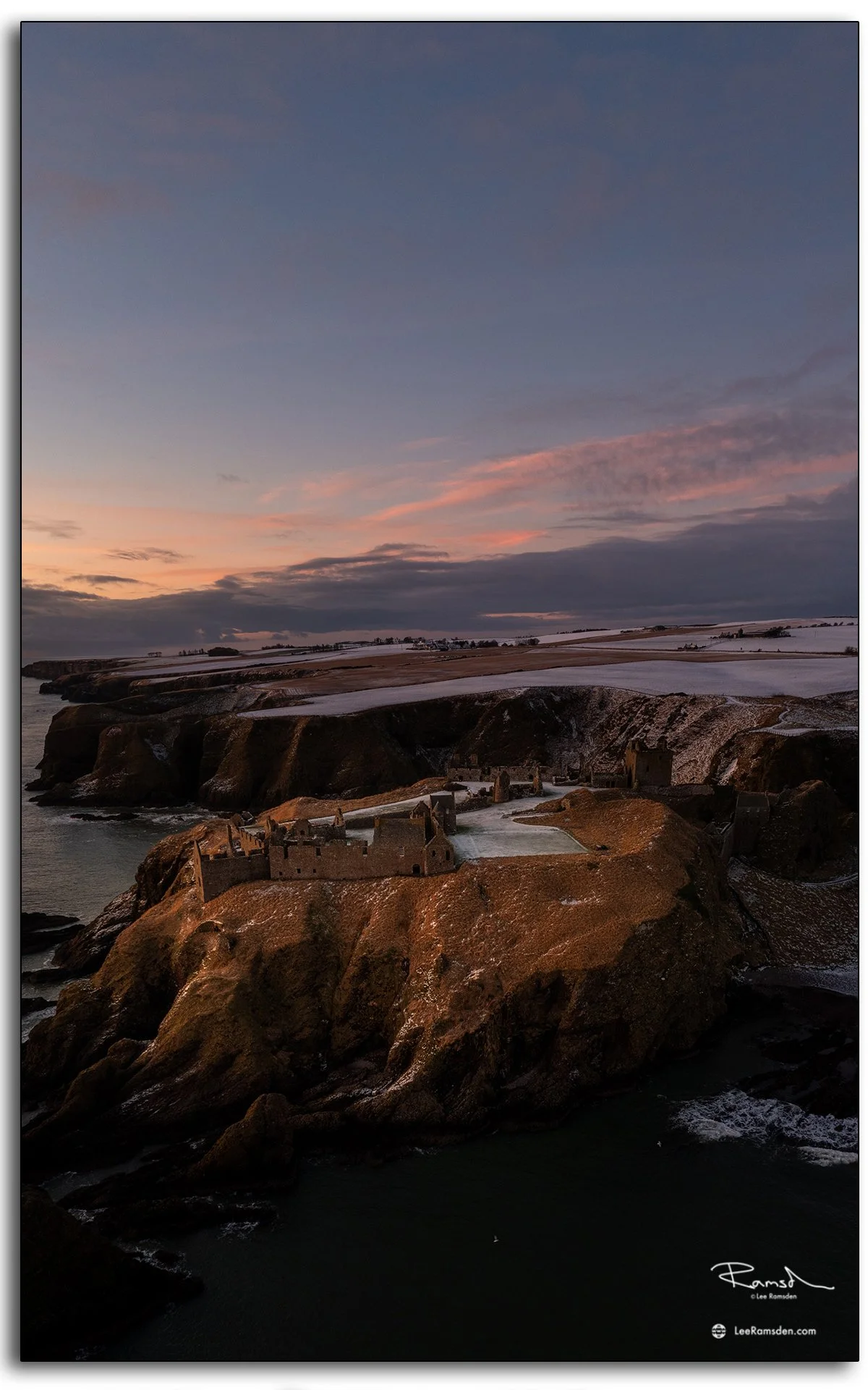
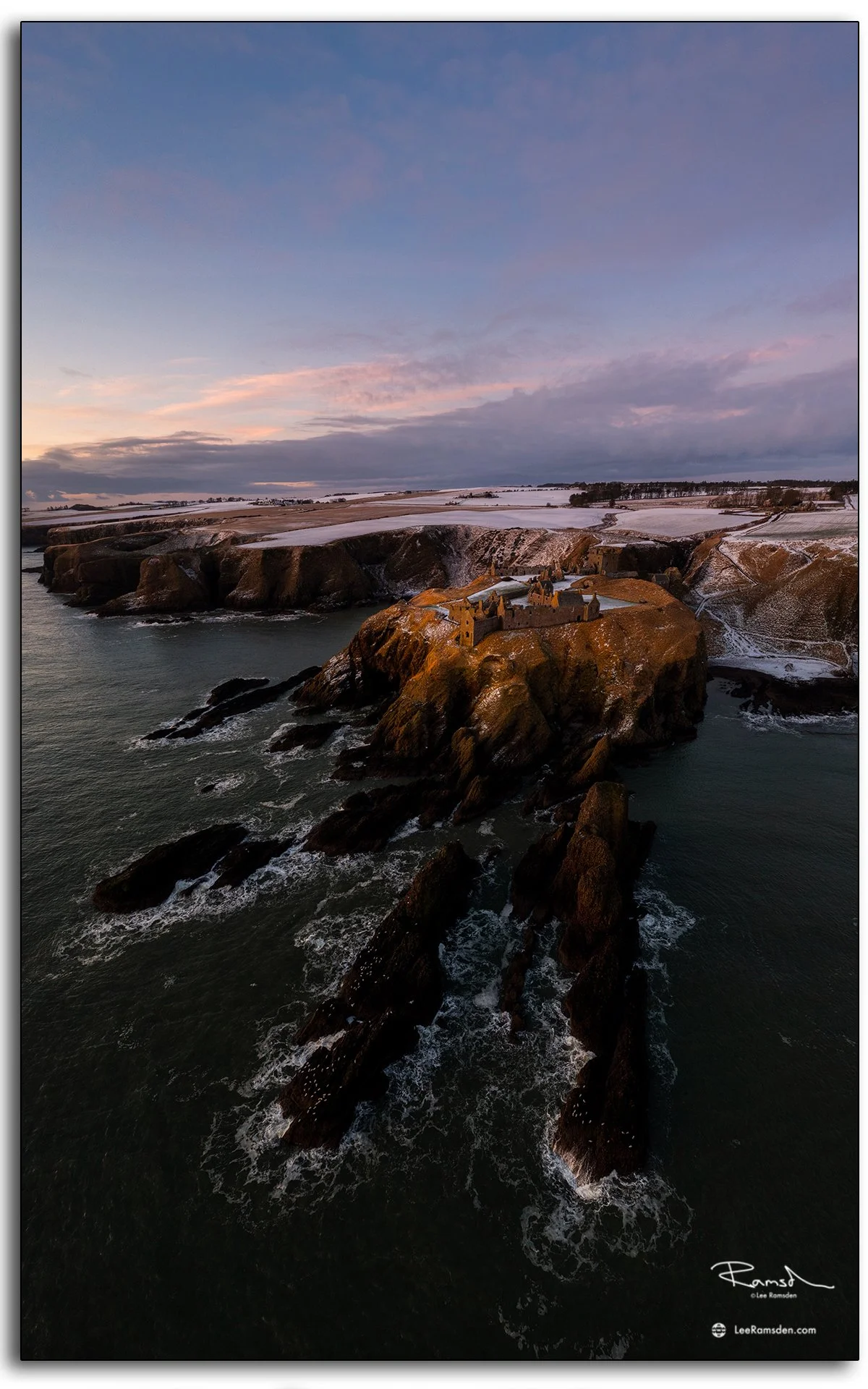
Spanning the rugged beauty of the Scottish Highlands, this bridge near Glencoe marks one of the most iconic stretches of the A82 — the route connecting Tyndrum to Fort William and beyond. Built to endure the elements, it carries travellers through some of the wildest and most photographed landscapes in the country.

At first glance, it’s just a bridge. But in the sheer vastness of the moor and under the shadow of Buachaille Etive Mòr, it becomes a symbol of transition — a crossing between the lowlands and the high places, between calm weather and whatever the Highlands decide to throw next.
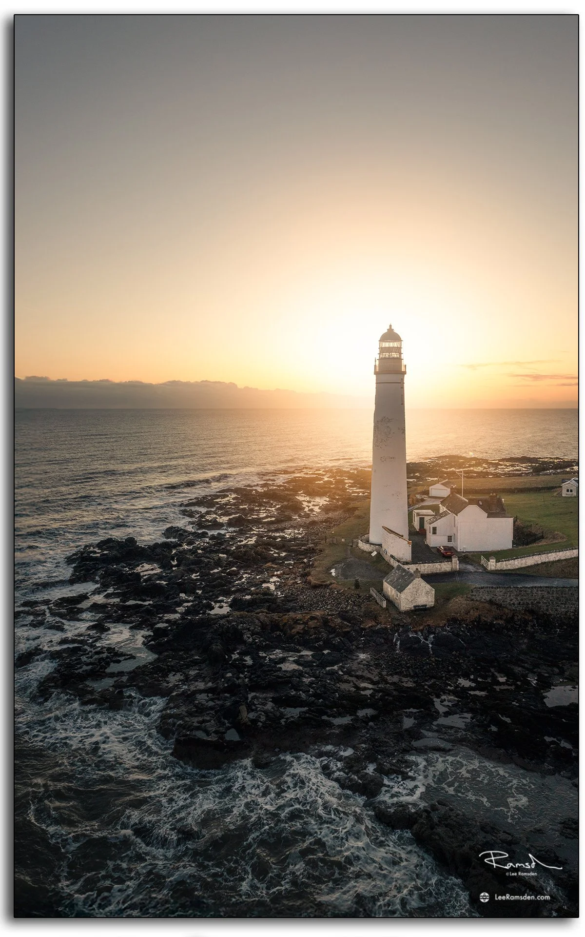
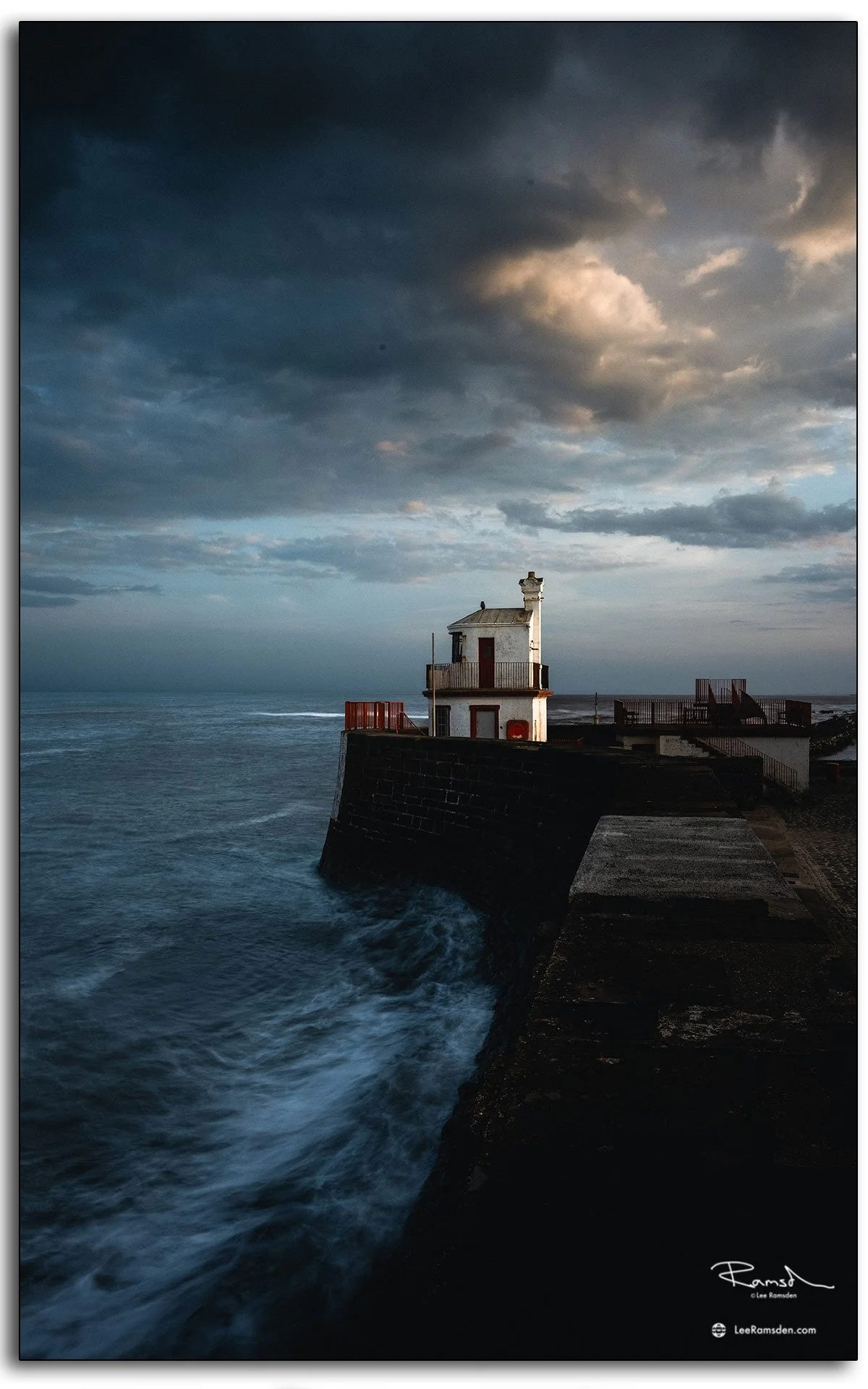
Both of these images were taken 1 week apart — one in softer evening tones, the other under the kind of sky that makes you question your life choices for leaving the house. Yet together, they show exactly what makes Glencoe timeless: no two visits ever look the same.
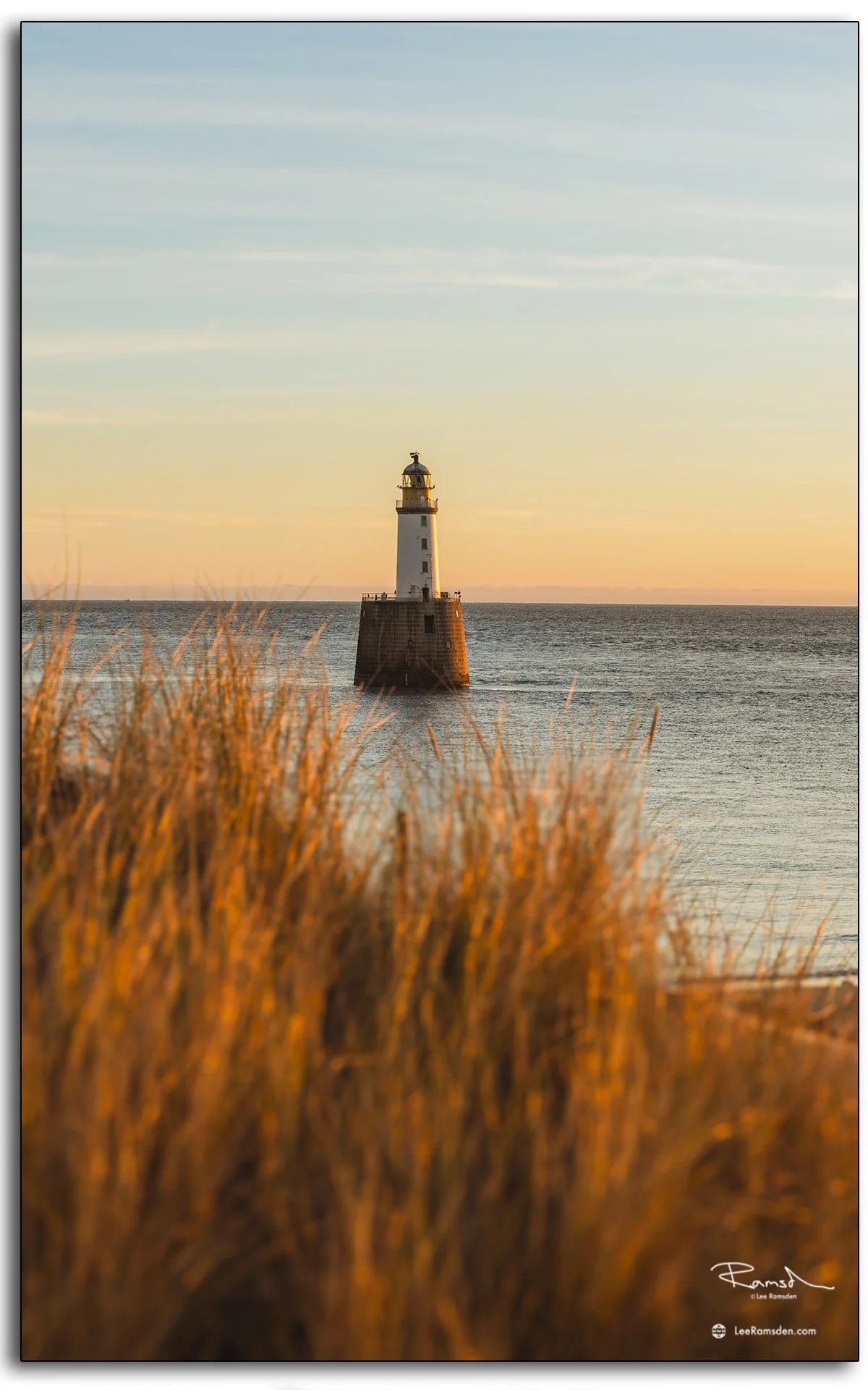
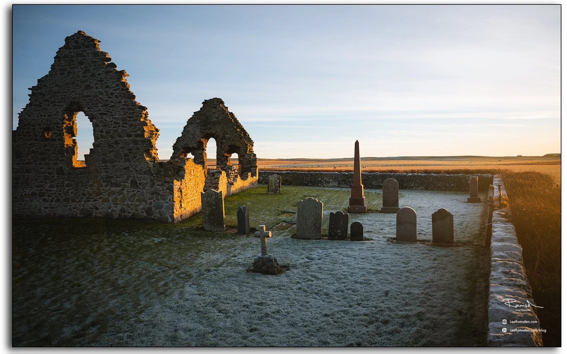
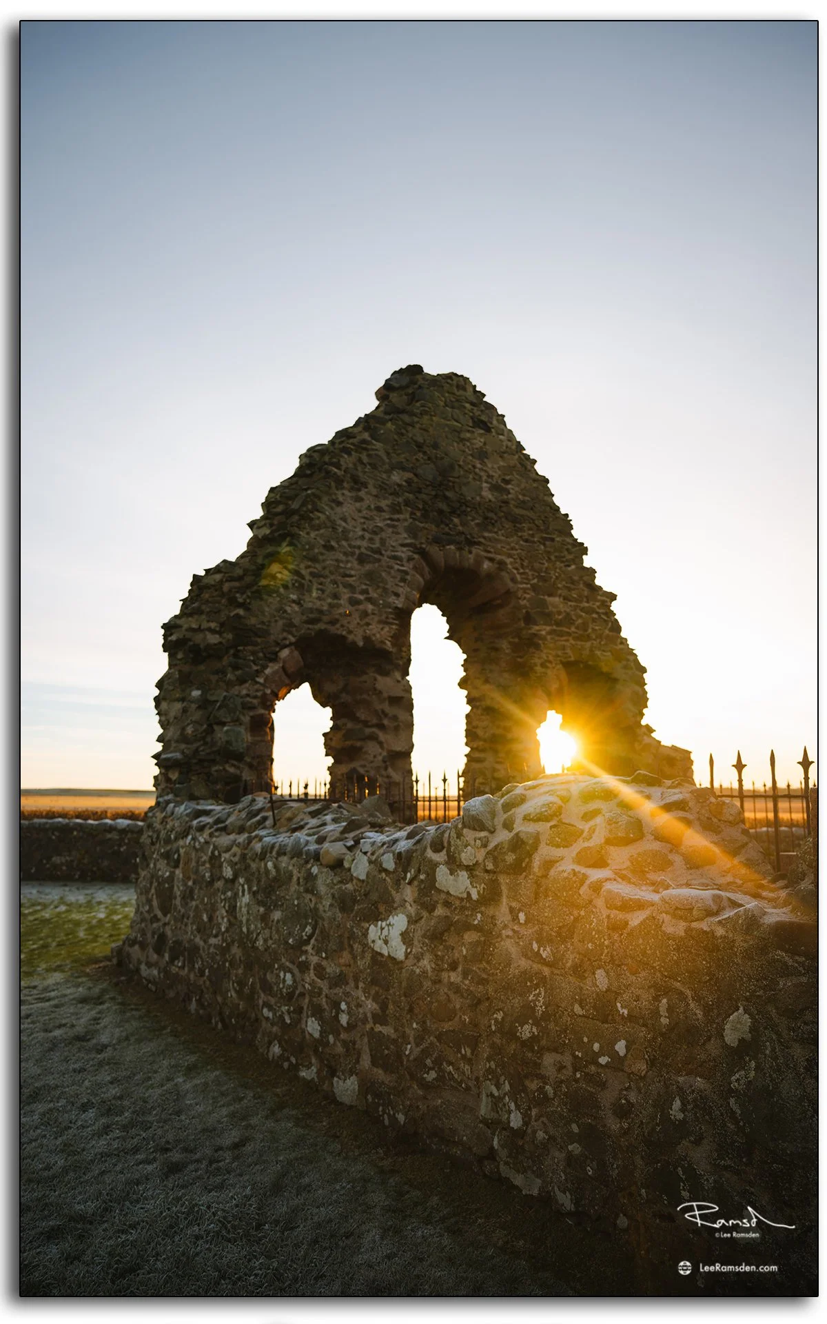
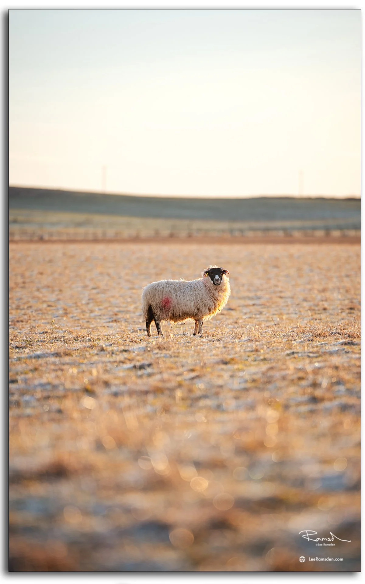
This landscape never disappoints — dramatic, moody, and constantly changing.
Explore more of my Places collection for other scenes from across Scotland and beyond.