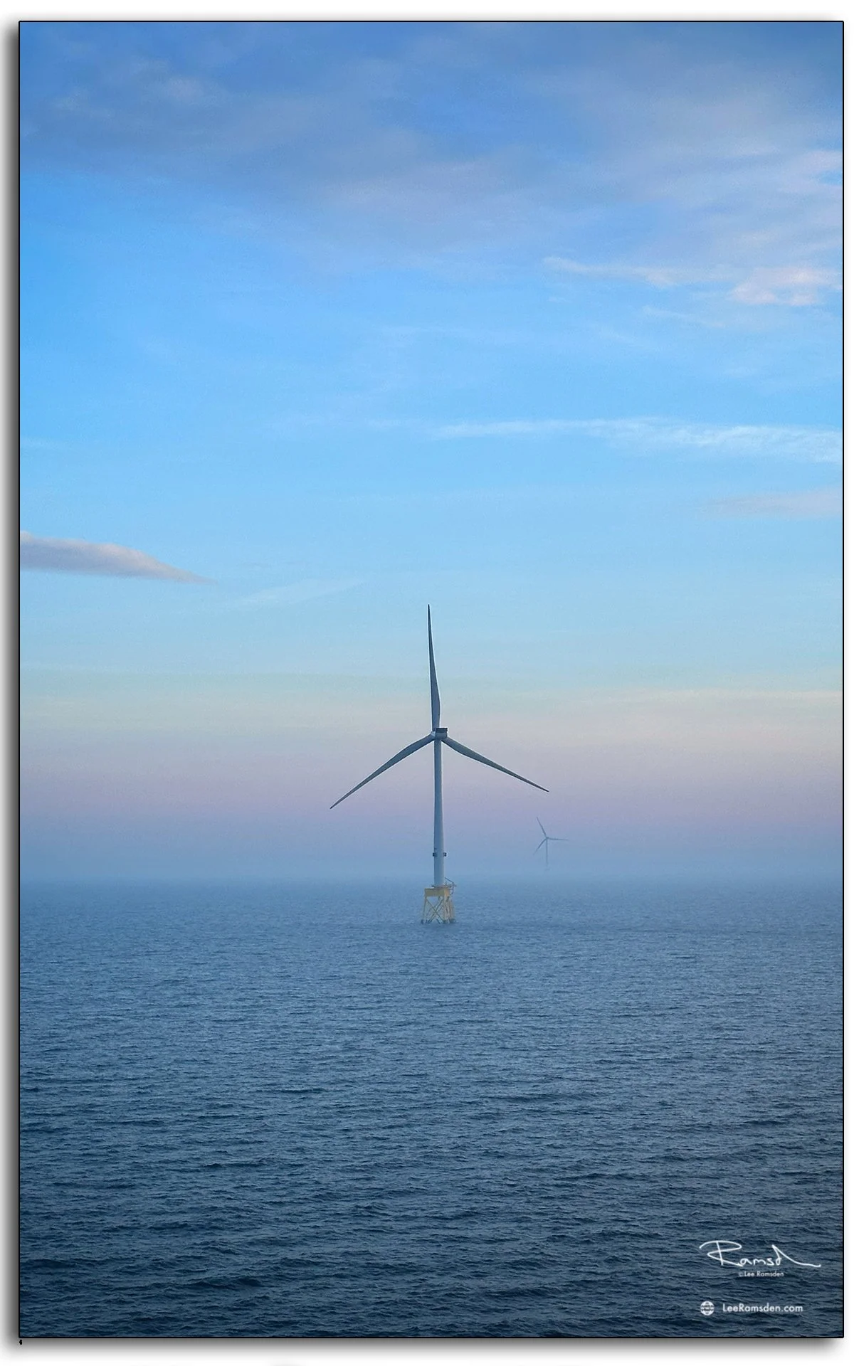
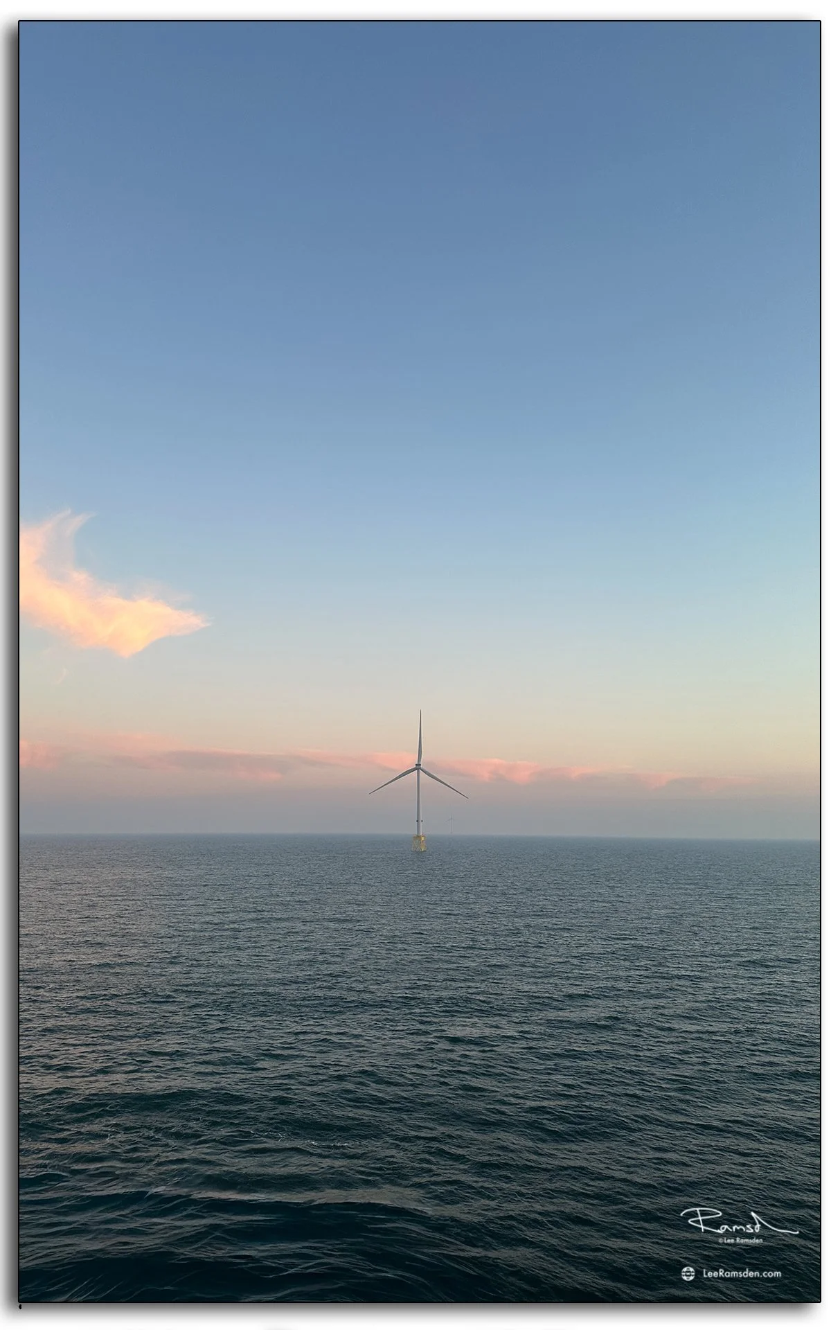
The offshore wind farm never looks the same twice. These images were taken as the light shifted across the horizon, washing the turbines in soft pastels and golden tones. From the bold streaks of orange cutting through the sky to the delicate calm of mist on the water, the colours showcase just how changeable – and dramatic – the North Sea can be.
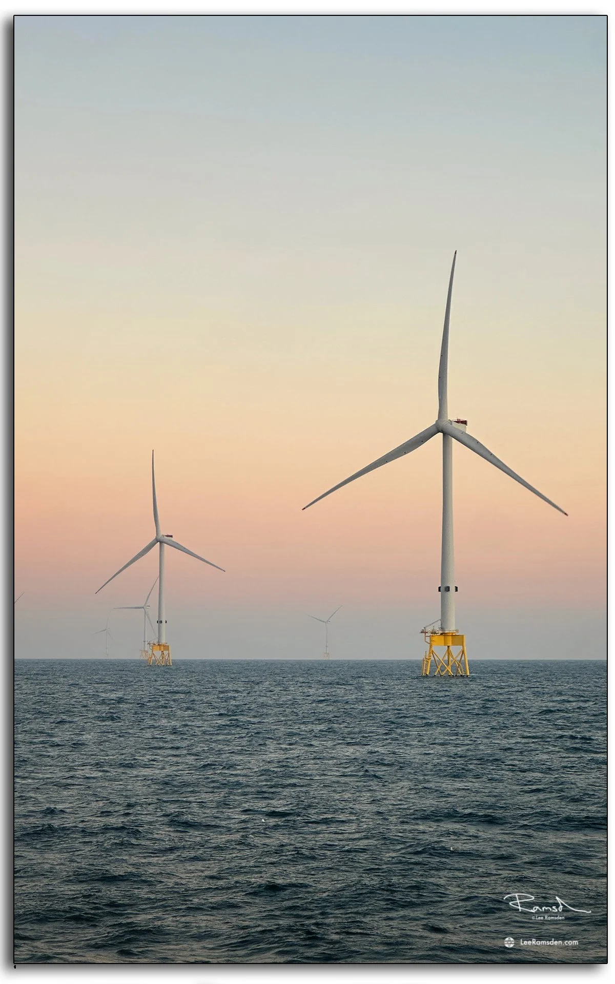
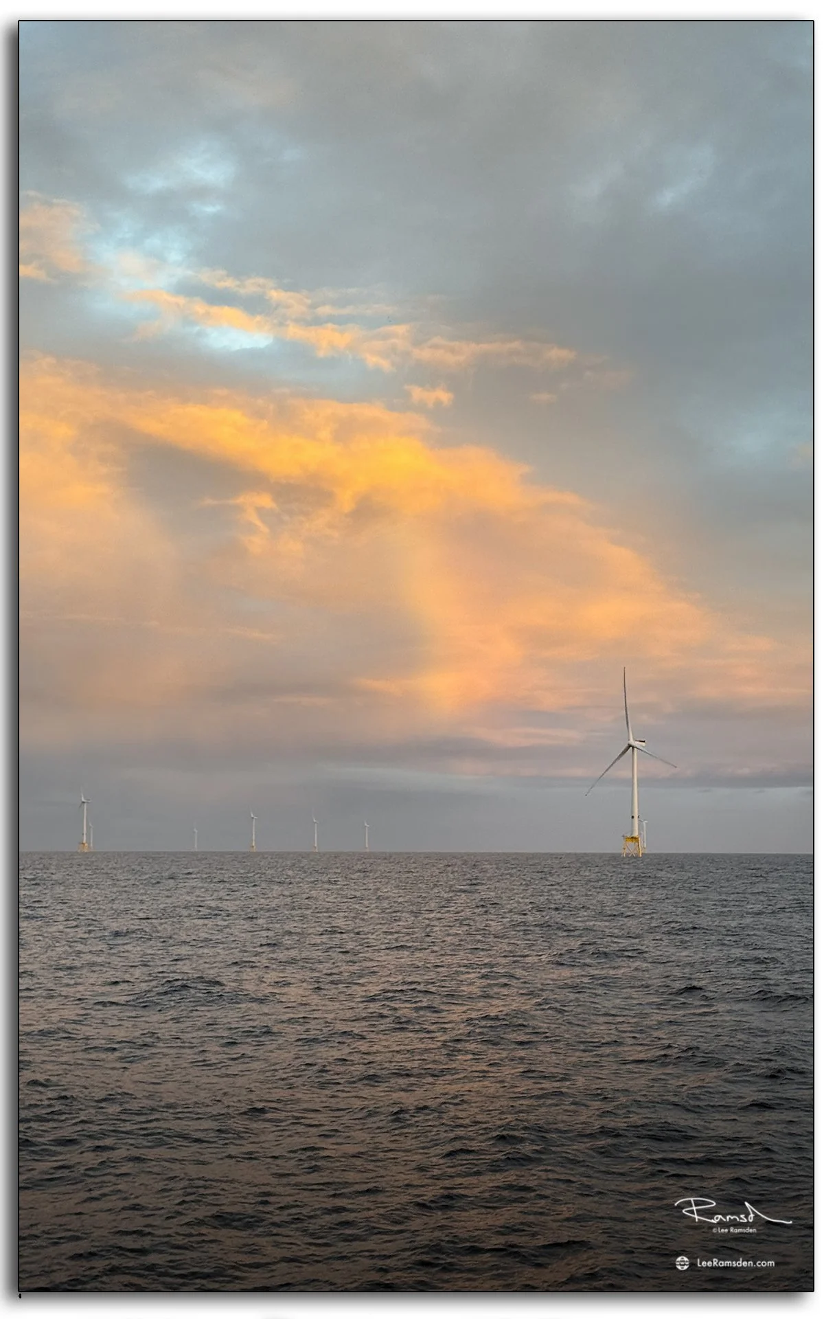
Out here, the turbines rise like markers against the endless sea and sky. Whether captured in sharp evening light or against the faint haze of dawn, they carry a quiet strength – a reminder of how industry and nature meet offshore.
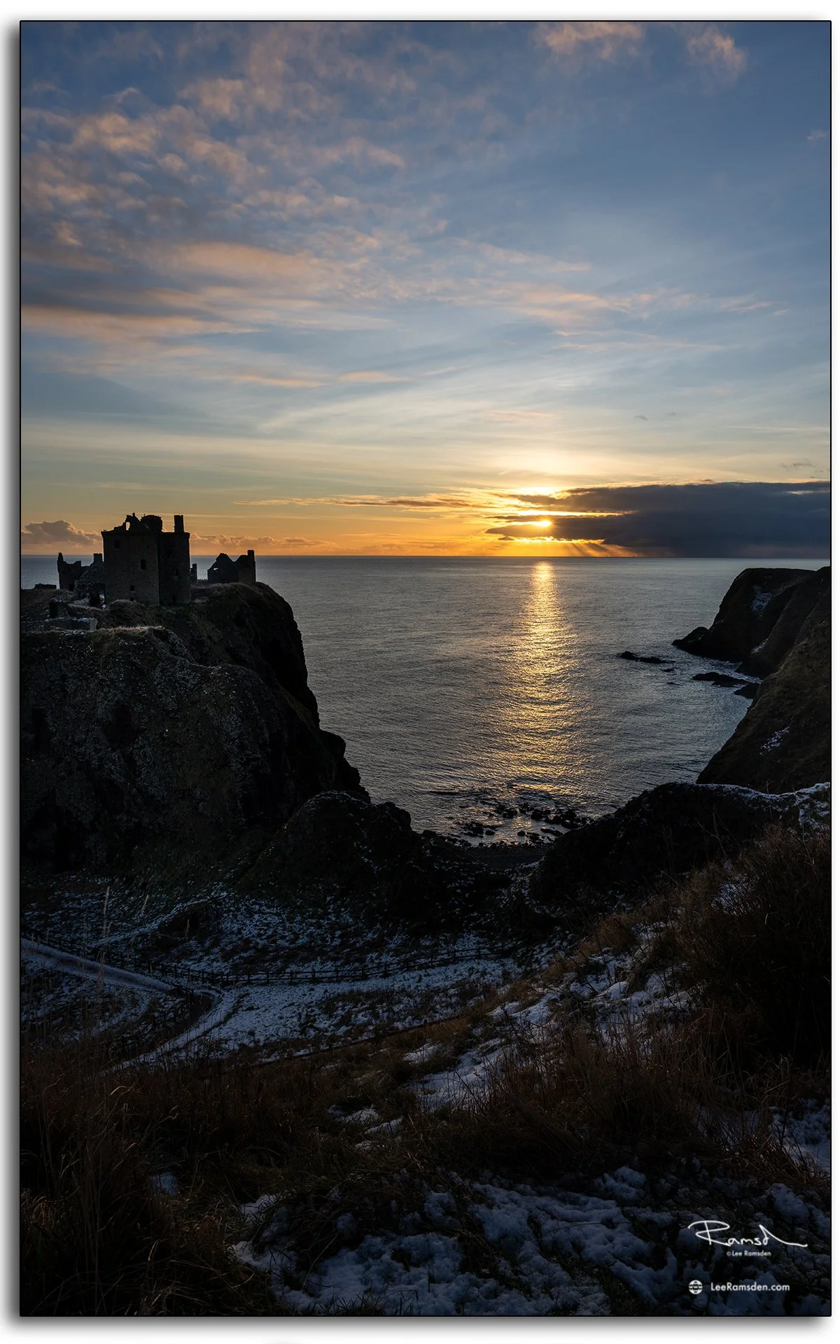
As always, these moments are fleeting, and that’s what makes them worth capturing.
See more of my work from the Wind Industry portfolio.