Cromarty is the sort of place where history and industry can sit in the same frame, even when they belong to very different centuries.
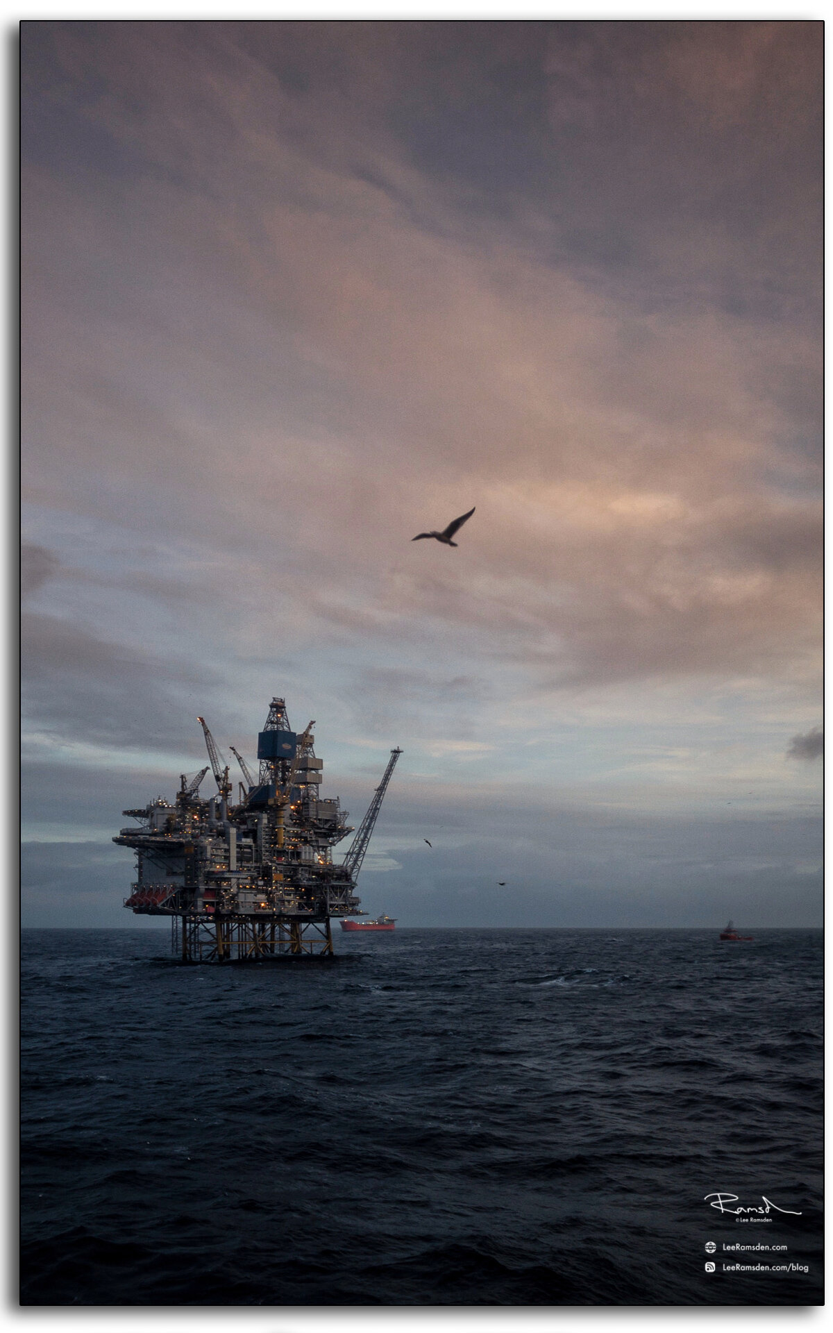
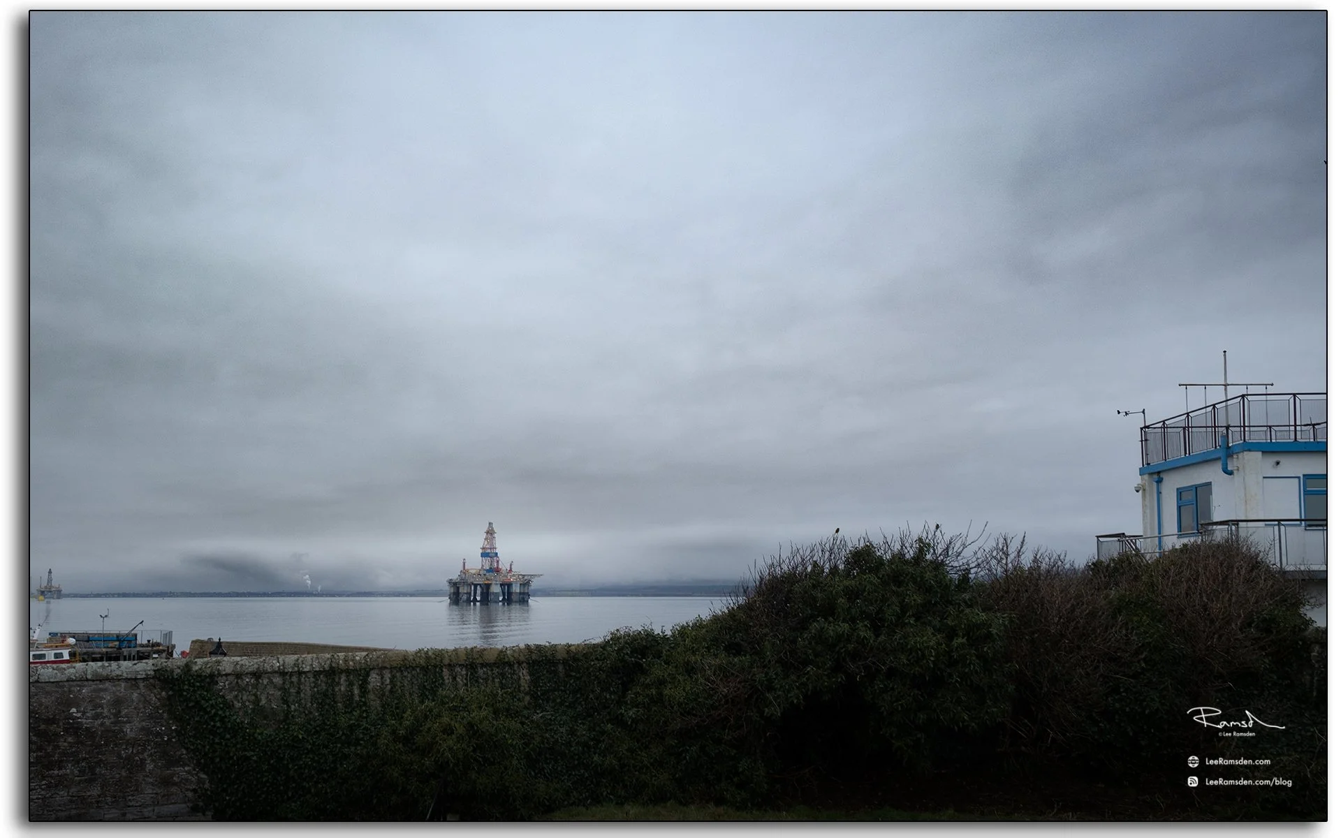
These two photographs were taken from the shoreline at Cromarty. One centres on the Cleopatra Stone, photographed in black and white, with the sea and shoreline beyond. The other looks out across the Cromarty Firth towards an offshore rig, with the edge of the town and harbour in the foreground.
Cromarty itself sits on the southern shore of the mouth of the Cromarty Firth, a place long tied to the sea through fishing, shipping and ferry connections. The town also developed a wider maritime importance because of the Firth’s role as a natural harbour.
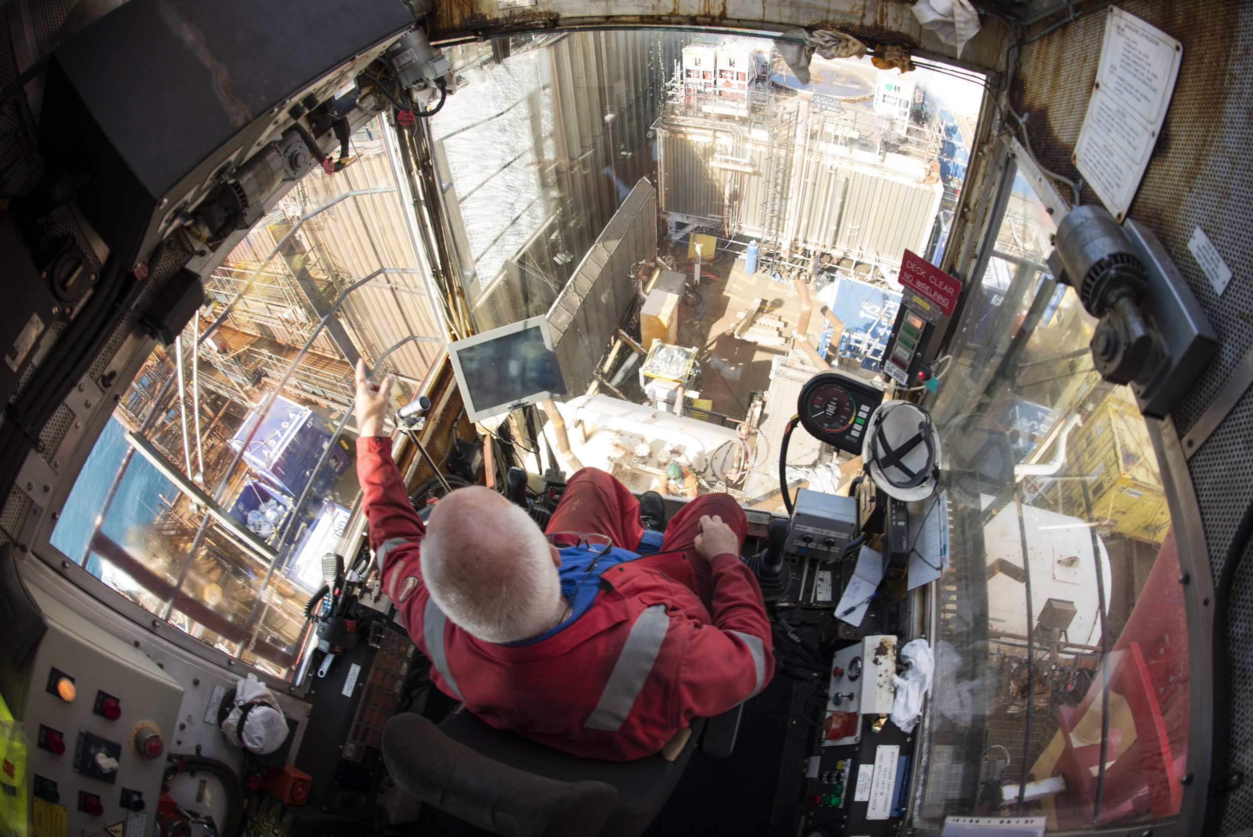
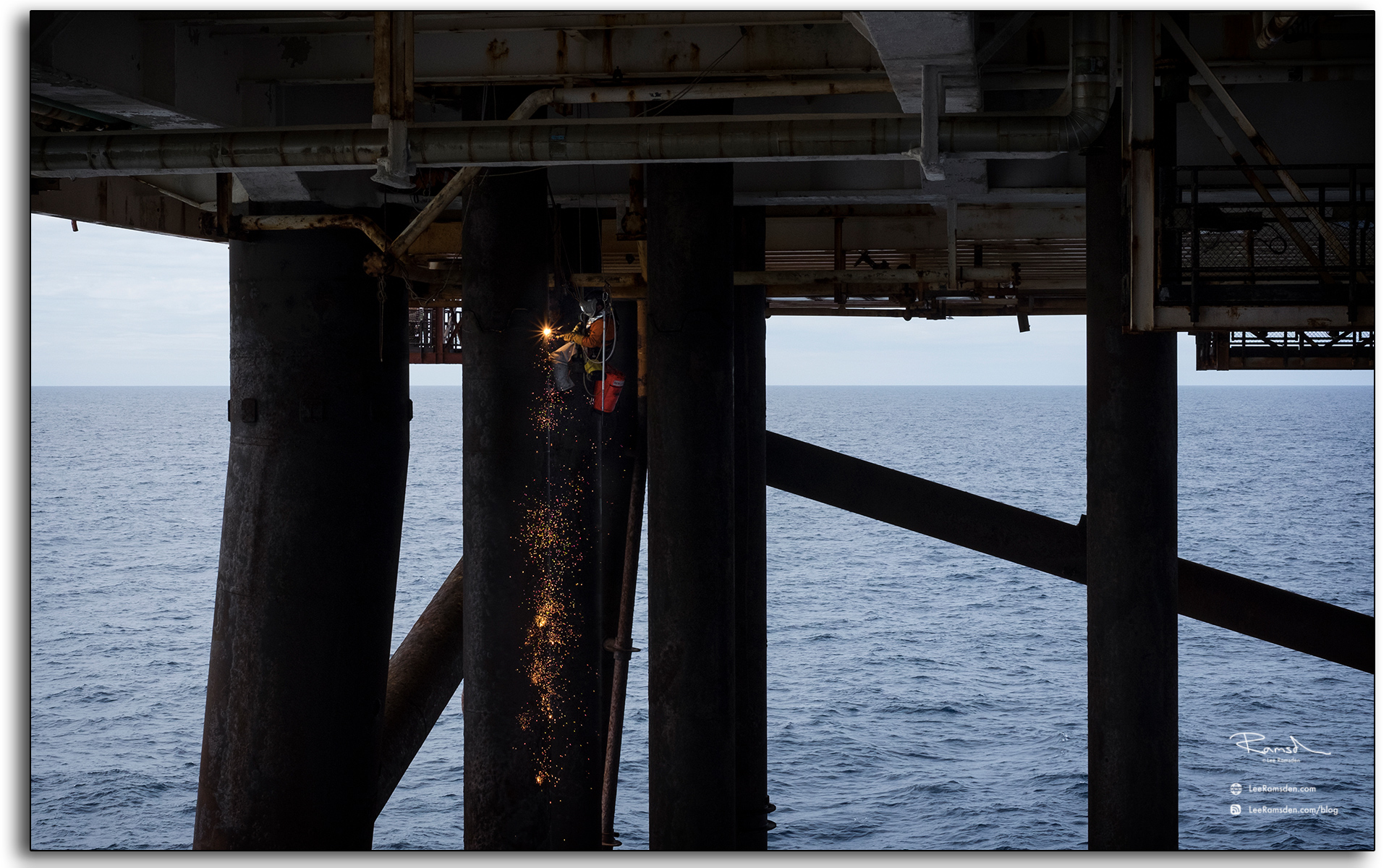
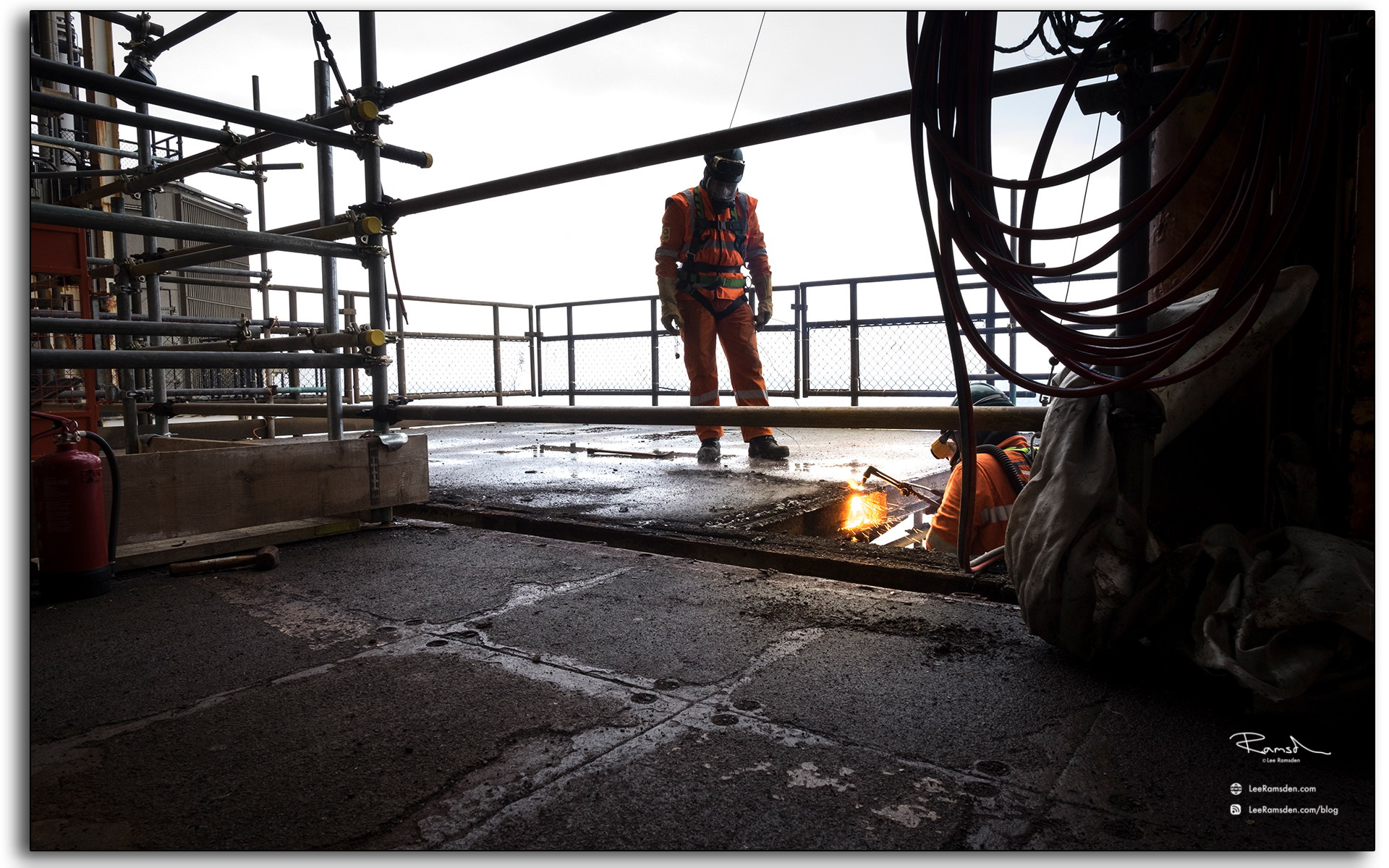
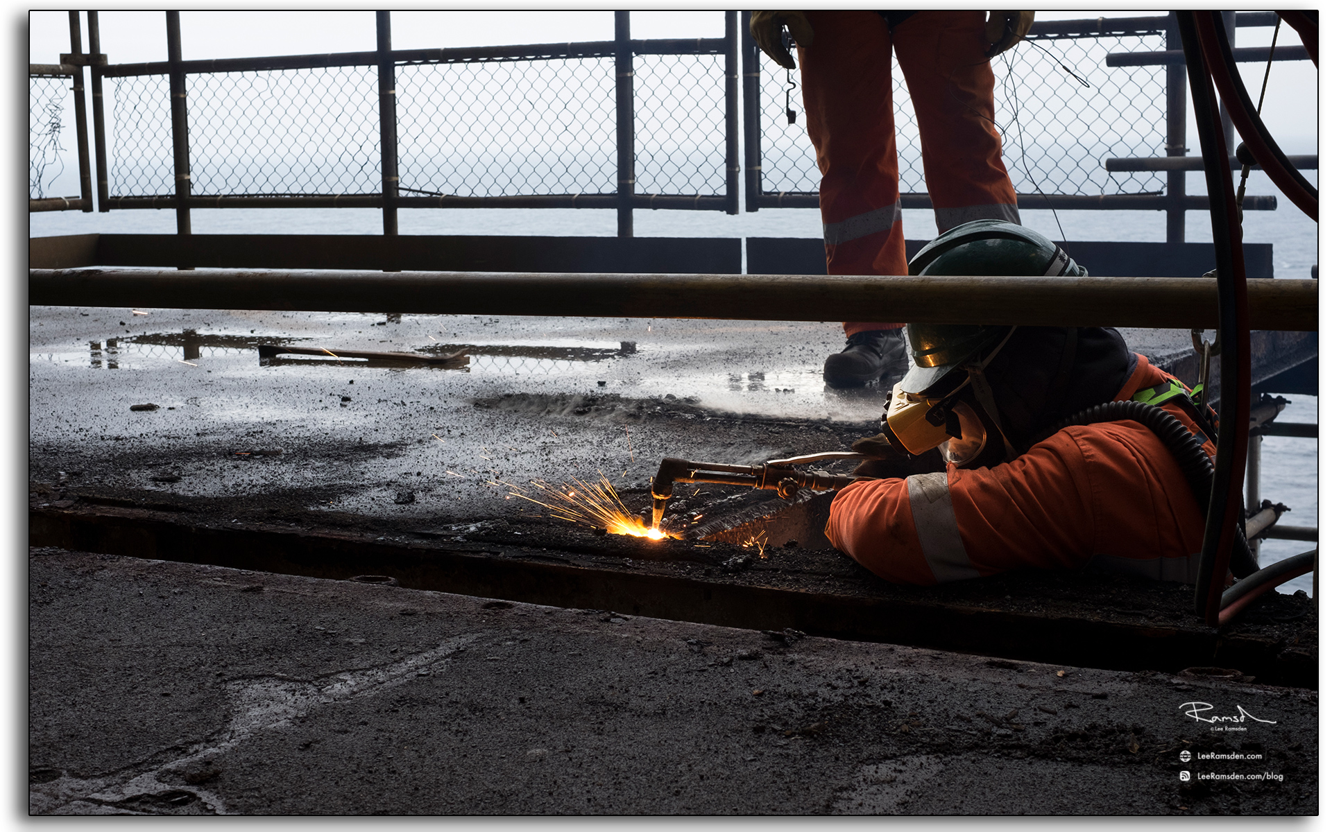
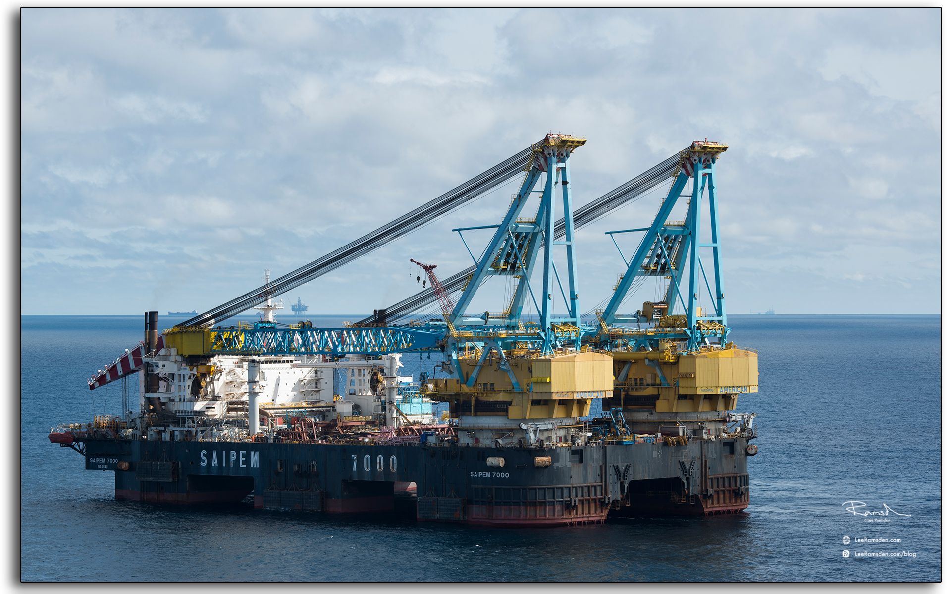
That first image brings in the more modern side of the area. Across the water, the Cromarty Firth and nearby Nigg have long been associated with the offshore industry. The fabrication yard at Nigg was originally developed for North Sea oil and gas work in the early 1970s, and the wider Firth has continued to be linked with rig lay-up, refurbishment and energy-sector activity.
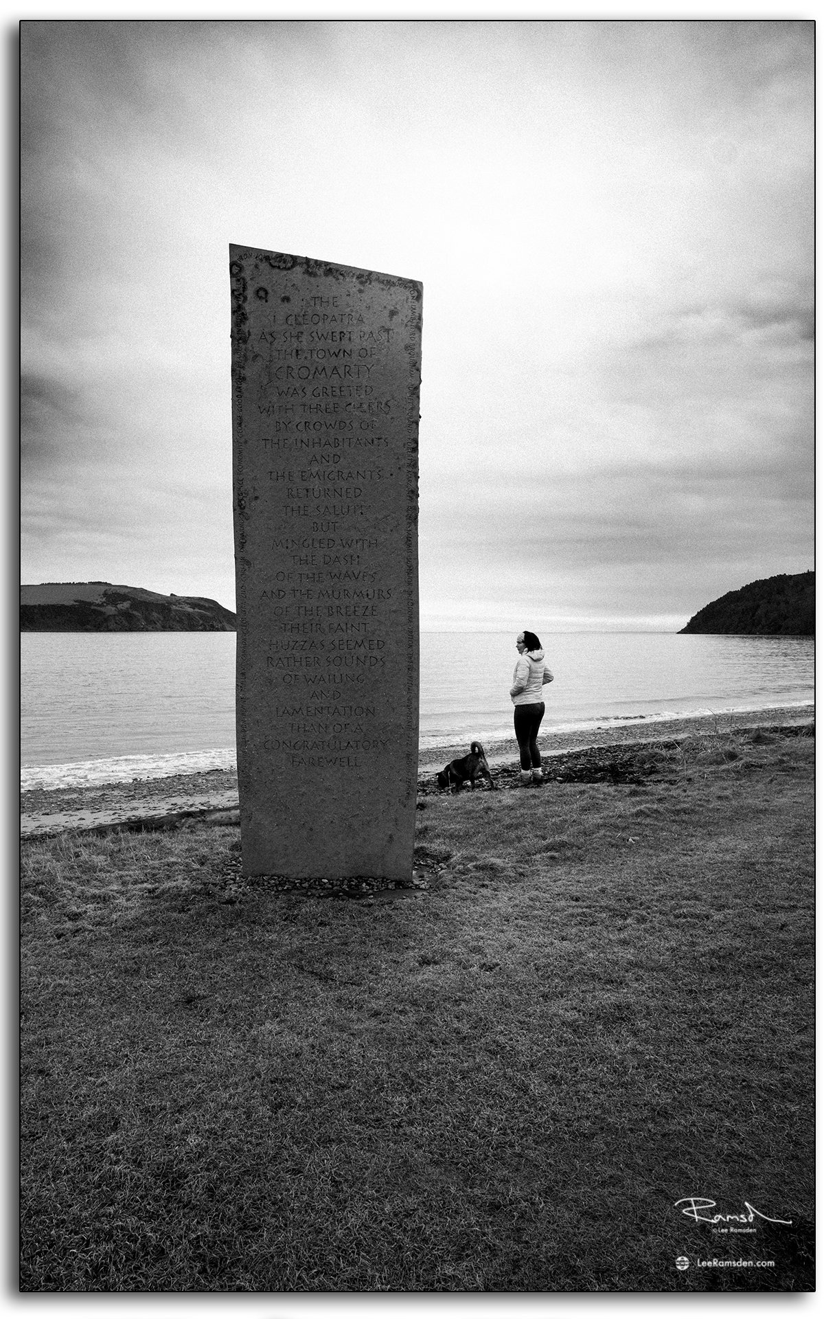
The Cleopatra Stone is one of Cromarty’s more unusual landmarks. Its inscription refers to the Queen Cleopatra, an emigrant ship associated with people leaving the town, and it captures a more emotional side of coastal history than many formal monuments do.
What I like about these images together is the contrast. One is rooted in memory, migration and local identity. The other is about scale, distance and the working landscape that still defines the Firth today. Cromarty can hold both at once without forcing the point.
Photographically, that makes it an interesting place to return to. You are not just looking at a pretty shoreline. You are looking at a location where personal history, harbour life and the North Sea economy all overlap in a relatively small stretch of coast.