coastal photography

Cromarty Lighthouse on the Black Isle

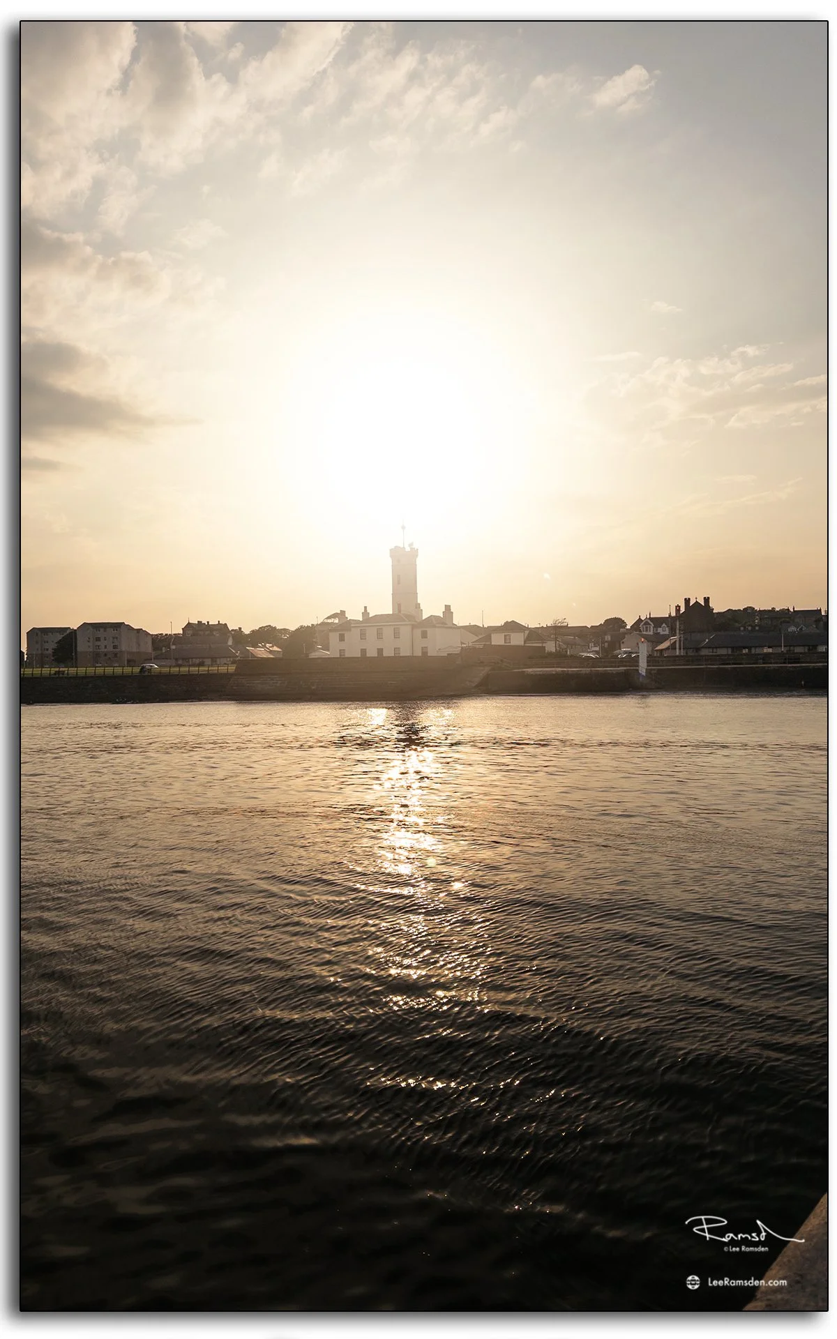
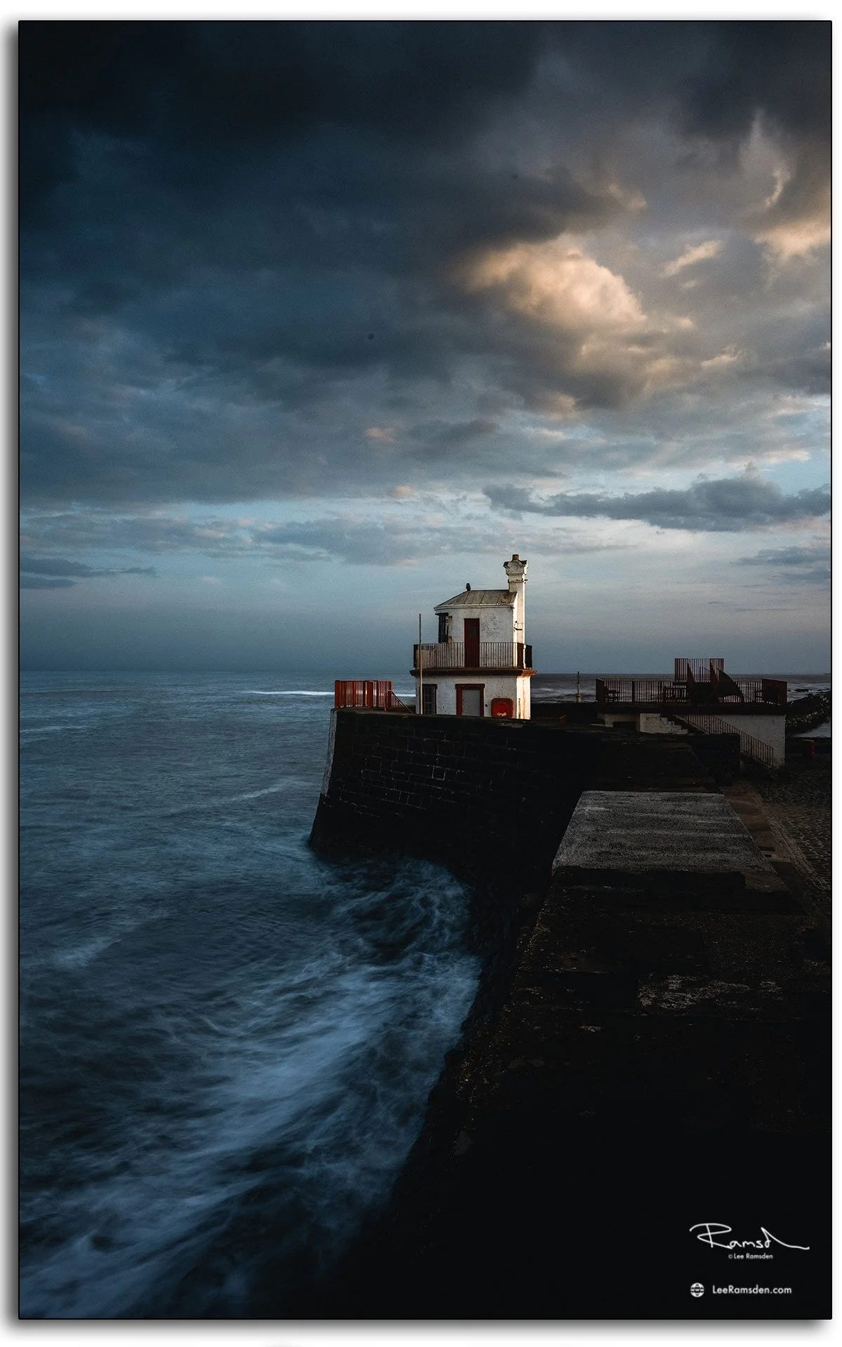
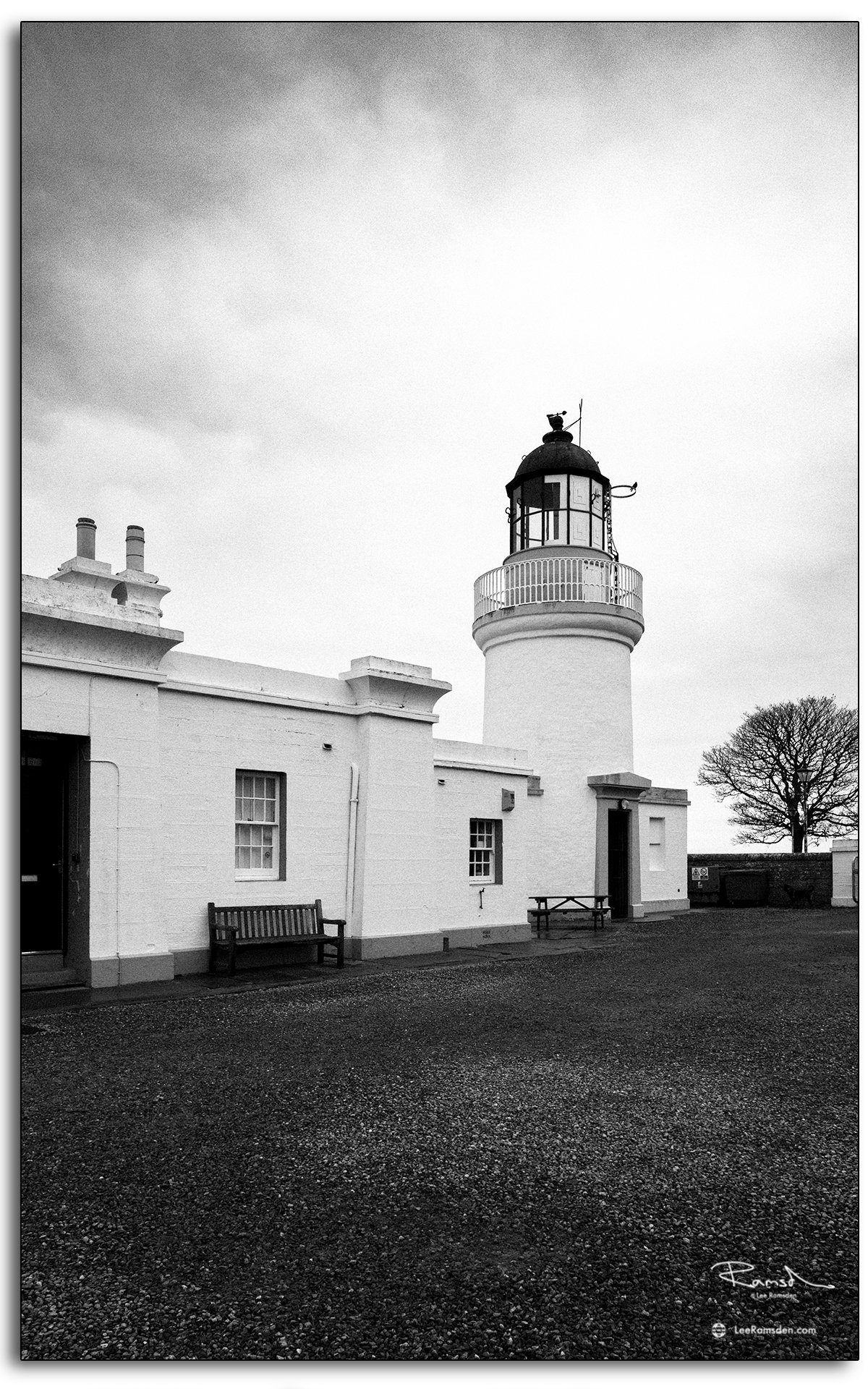
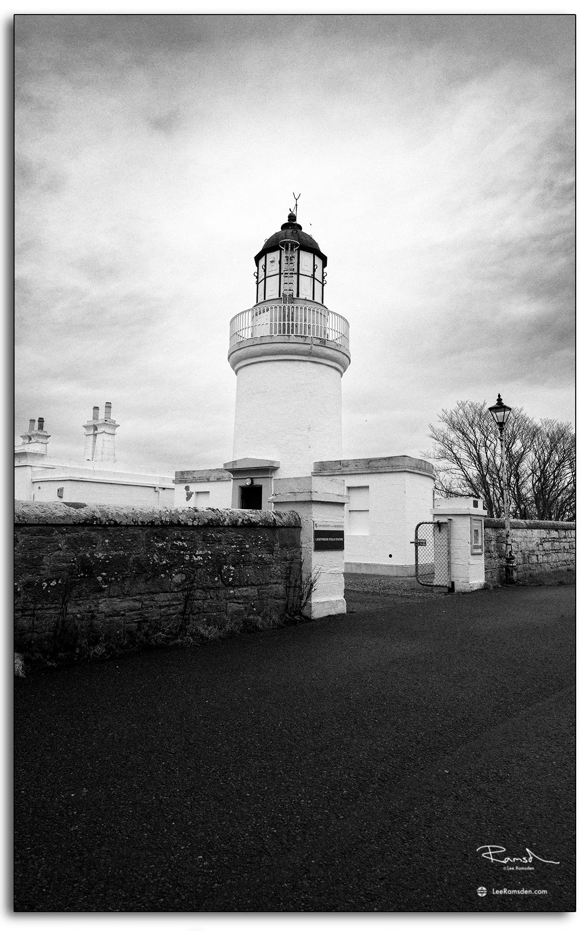
These photographs were taken in Cromarty on the Black Isle, looking at the lighthouse from two slightly different angles. The monochrome treatment felt right for this set. It gives the building a more documentary look and pulls it closer to its working history rather than presenting it as a purely scenic coastal landmark.

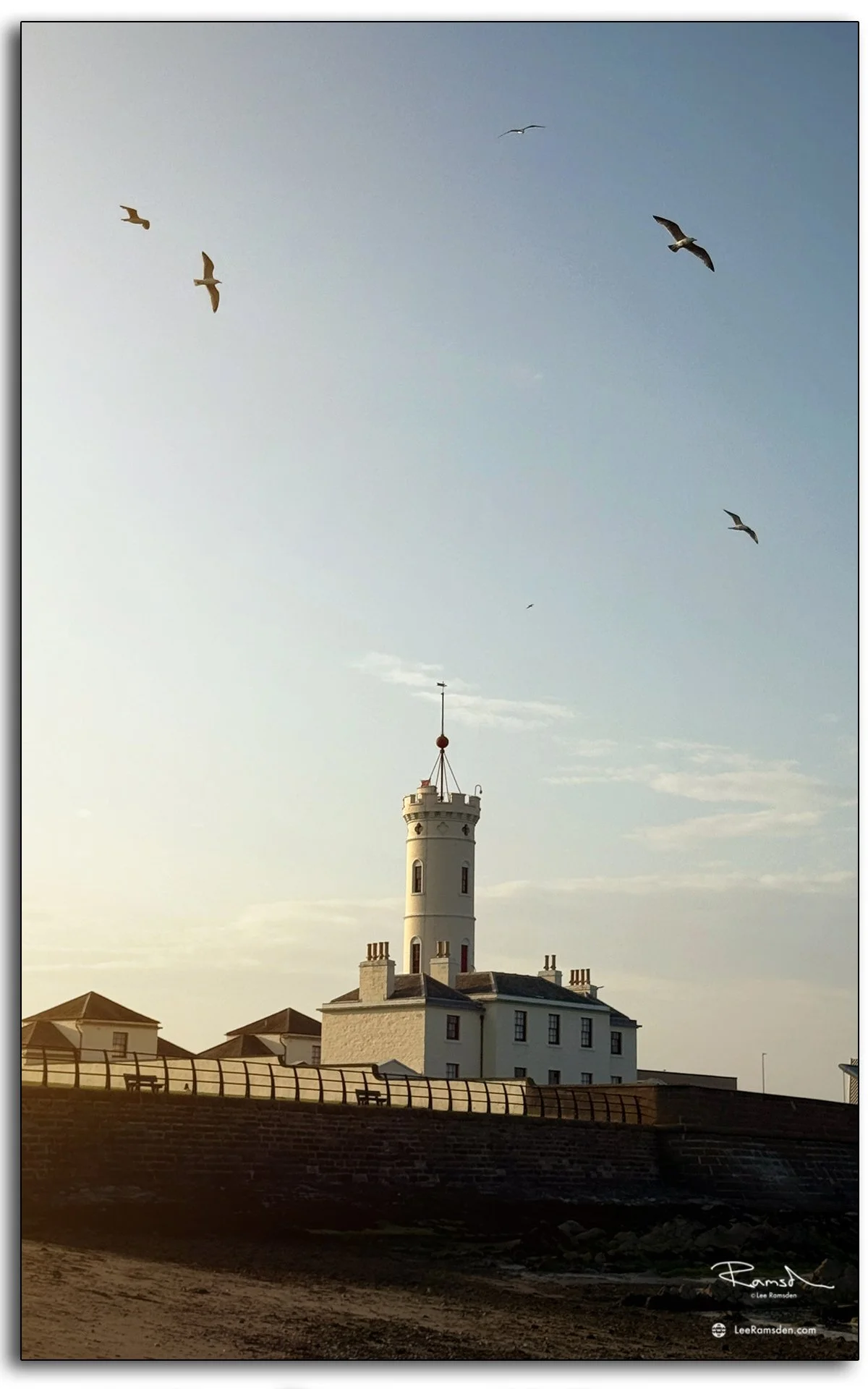
Cromarty Lighthouse was first established in 1846 to guide vessels from the Moray Firth into the Cromarty Firth. It was designed by Alan Stevenson, part of the famous Stevenson family of lighthouse engineers. 

The light later became automatic in 1985, and it was withdrawn from service in 2006. After decommissioning, the site passed into academic use, and the buildings are now associated with the University of Aberdeen’s Lighthouse Field Station

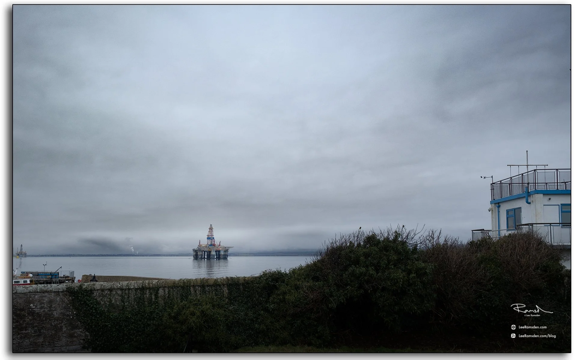
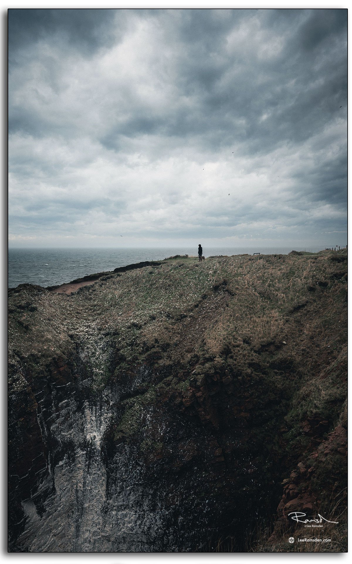
That history gives the site more weight than a simple lighthouse stop on the coast. It stood at an important entrance to the Cromarty Firth, an area long valued for its sheltered waters and maritime importance. Even now, the building still carries that sense of purpose. 

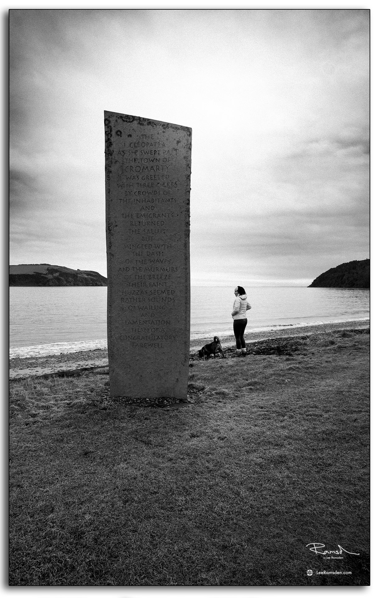
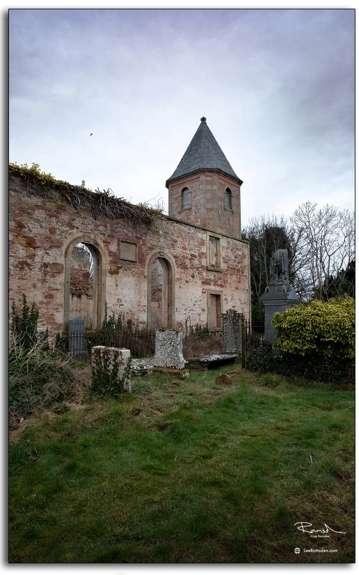
Cromarty has no shortage of history, but the lighthouse is one of the clearest reminders that this small town was connected to much larger routes, movements and industries at sea.

Cromarty: The Cleopatra Stone and the Firth Beyond

Cromarty is the sort of place where history and industry can sit in the same frame, even when they belong to very different centuries.

These two photographs were taken from the shoreline at Cromarty. One centres on the Cleopatra Stone, photographed in black and white, with the sea and shoreline beyond. The other looks out across the Cromarty Firth towards an offshore rig, with the edge of the town and harbour in the foreground.

Cromarty itself sits on the southern shore of the mouth of the Cromarty Firth, a place long tied to the sea through fishing, shipping and ferry connections. The town also developed a wider maritime importance because of the Firth’s role as a natural harbour. 

That first image brings in the more modern side of the area. Across the water, the Cromarty Firth and nearby Nigg have long been associated with the offshore industry. The fabrication yard at Nigg was originally developed for North Sea oil and gas work in the early 1970s, and the wider Firth has continued to be linked with rig lay-up, refurbishment and energy-sector activity. 

The Cleopatra Stone is one of Cromarty’s more unusual landmarks. Its inscription refers to the Queen Cleopatra, an emigrant ship associated with people leaving the town, and it captures a more emotional side of coastal history than many formal monuments do.

What I like about these images together is the contrast. One is rooted in memory, migration and local identity. The other is about scale, distance and the working landscape that still defines the Firth today. Cromarty can hold both at once without forcing the point.

Photographically, that makes it an interesting place to return to. You are not just looking at a pretty shoreline. You are looking at a location where personal history, harbour life and the North Sea economy all overlap in a relatively small stretch of coast.

Evening Light at Arbroath Harbour

Action at Arbroath Harbour as a local leaps from the harbour wall into the sea.
Golden light at Arbroath Harbour with the lighthouse on the horizon.

Arbroath Harbour is always full of character, from the energy of locals leaping into the water to the calm stillness of sunset over the lighthouse. These moments, captured with my iPhone on a warm evening, highlight both the vibrancy of the community and the quiet beauty of the coastline.

Arbroath Signal Tower lighthouse framed by seagulls in flight.
Evening walk at Arbroath Harbour, with golden light reflecting on the water.

Harbour life brings together energy and calm in equal measure. To see more of my work exploring Scotland’s coastline and industry, visit my Places and Industrial portfolios.

Cromarty War Graves and the Old Churchyard

These two photographs were taken in Cromarty and show two closely connected parts of the same place: the older churchyard ruins and the formal war graves section with its cross at the far end of the cemetery. Together, they say quite a lot about how much history can sit in one small Highland town. 

The first image looks into the old churchyard, where the ruined Gaelic Chapel and older burial ground give the place a much longer timeline than the neat lines of the later war graves. The chapel is associated with the Gaelic-speaking community in Cromarty and now survives as a ruin within the burial ground. 

The second image shows the more formal military section of Cromarty Cemetery, where the graves are arranged around a War Cross in the newer extension. According to the Commonwealth War Graves Commission, the cemetery contains 74 Commonwealth burials from the First World War and 4 from the Second World War

That number feels striking for a small place, but Cromarty had a more significant wartime role than many people realise. The CWGC notes that Cromarty was a net-base and that the Cromarty Military Hospital had 226 beds during the First World War. 

The same CWGC record also points to one of the major reasons the cemetery holds so many wartime burials: HMS Natal was wrecked and overturned by an internal explosion in the channel between Cromarty and Invergordon on 30 December 1915. That event left a lasting mark on the area and helps explain why the war graves section is so prominent here. 

What I like about these images together is the contrast in how remembrance is expressed. One side of the cemetery feels irregular, weathered and local, shaped over time by the town itself. The other is formal and deliberate, with the ordered headstones and cross giving the space a very different rhythm. Both belong to the same landscape, and both reflect different layers of Cromarty’s past. 

Arbroath Harbour — Coastal and Historical Harbour Photography

Red sandstone sea walls and calm reflections at Arbroath Harbour at sunrise, capturing historical coastal architecture.

Arbroath Harbour has carried centuries of history in its red sandstone walls, medieval origins and weather-worn docks. I’ve visited this place several times; when the sky clears and the water calms, the textures of sea, stone, and light combine in ways a single visit can’t capture.

Open wrought iron dock gate at Arbroath Harbour under dawn sky, showing wet dock heritage and structure.
Boats moored inside Arbroath Harbour with pier and sea wall at first light, reflecting maritime roots.

The harbour, medieval in origin, was improved by John Gibb in 1838-39 and extended by James Leslie in 1841-46 to include 2.4 hectares enclosed by red sandstone sea walls. The old 1725 harbour was converted into a wet dock in 1877 — the wrought iron gates remain, now kept open to the North Sea.

Today’s shoot shows weathered stone, calm reflections, the contrast between structure and water, and the soft lines of dawn light reaching the sea wall and boats. Where light hits the sandstone wall or the gates, there’s depth; in the shadows and water, quiet shapes. These images are about material, history, and stillness.

Close-up textures of stone harbour walls and weathered masonry at Arbroath Harbour, photographed in soft light.
Harbour structure reflections in still water at Arbroath Harbour at sunrise, showing symmetry and calm.

Harbours like this connect past and present, where centuries of maritime life continue in stone, wood, and tide. For more harbour and coastal photography with structure and mood, see my Places and Drone galleries.

Arbroath Coastal Walk — Weather, Harbor & Cliffs by the Sea

Arbroath harbour wall under stormy skies, rough sea, waves breaking against stone.
RNLI station and lifeboat at Arbroath harbour, shot from coastal walk, rough weather.

Walking the coast around Arbroath often means facing the sea, sky, and whatever weather brings — and that’s exactly what this set of images shows. Storm-light, crashing surf, softened cliffs — all blending into the rugged edges of the harbour and coastline.

The image on the right makes me smile, as you can guess, I got absolutely soaked!

These photos were taken during rough weather; salt spray, wind, and sudden cloud cover influenced how each frame looked. The harbour walls stood weathered; waves broke against jetties; the cliffs loomed overhead, cliffs and textures highlighted where light managed through the cloud. Some shots show the RNLI, lifeboat station, or pilot office—places shaped by sea. Others are just of the way waves hit rock, or how boats hover between calm and chaos. It was more about mood than precision.

The coast around Arbroath always shows something new — in structure, texture, or weather. If you like rugged coastal scenes and harbour life, take a look at my Places and Travel galleries.

Arbroath Pilot Office And Signal Lighthouse.

The Arbroath Pilot Office and Signal Lighthouse stand at the entrance to Arbroath Harbour — two of the most recognisable structures on the town's waterfront. The Signal Lighthouse, with its distinctive white tower, has marked the harbour entrance for vessels approaching along the Angus coast for well over a century.

Arbroath Harbour itself has medieval origins, developed as a working port serving the town and the broader coastal trade of the east coast. The harbour was substantially improved in the 18th and 19th centuries, with the stone quays and piers that define it today largely the product of Victorian-era construction.

These photographs focus on the character of the harbour buildings rather than the wider harbour activity — the texture of the stonework, the lighthouse structure, and the way the buildings sit in relation to the water and the sky. The conditions at the time of shooting gave strong contrast and clean light across the stone.

For more photography from Arbroath and the Angus coast, explore the Places gallery and the Arbroath tag in the blog.

Arbroath cliffs trail.

Imagine standing atop rugged cliffs, with the North Sea crashing below and the wind whipping through your hair.

Welcome to the Arbroath Cliffs Walk, where nature’s raw beauty meets Scotland’s storied coastline.

The Arbroath Cliffs Walk stretches along Scotland’s east coast, offering a 4-mile trail filled with dramatic cliff faces, natural rock formations, and panoramic sea views.

Have you walked the Arbroath Cliffs? Share your favorite spots or good photography walk in the comments on my instagram @lee_ramsden as I would love to hear your thoughts.

Thanks

Lee