Lighthouse

Butt of Lewis Lighthouse – Edge of the Atlantic

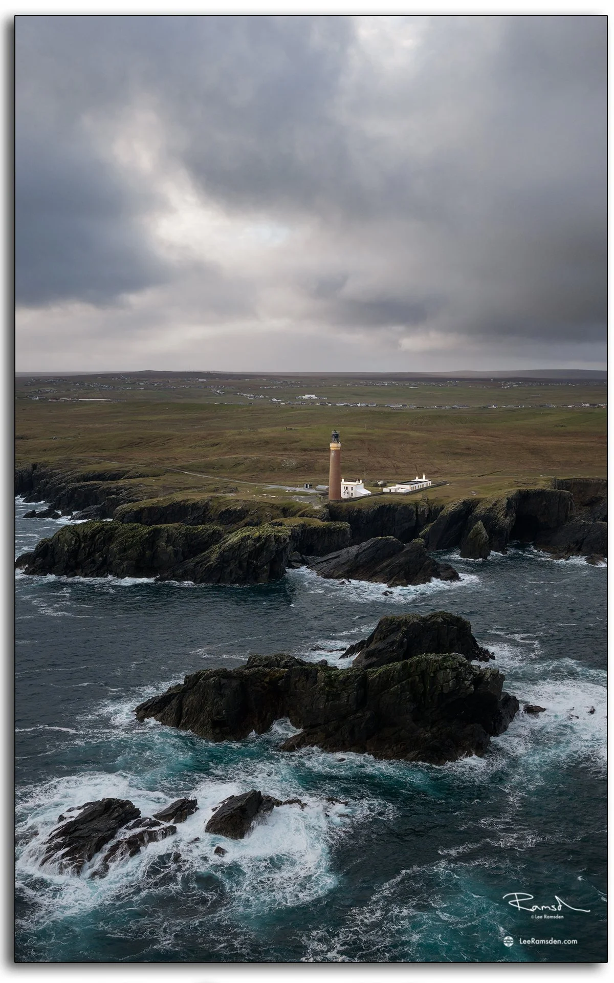
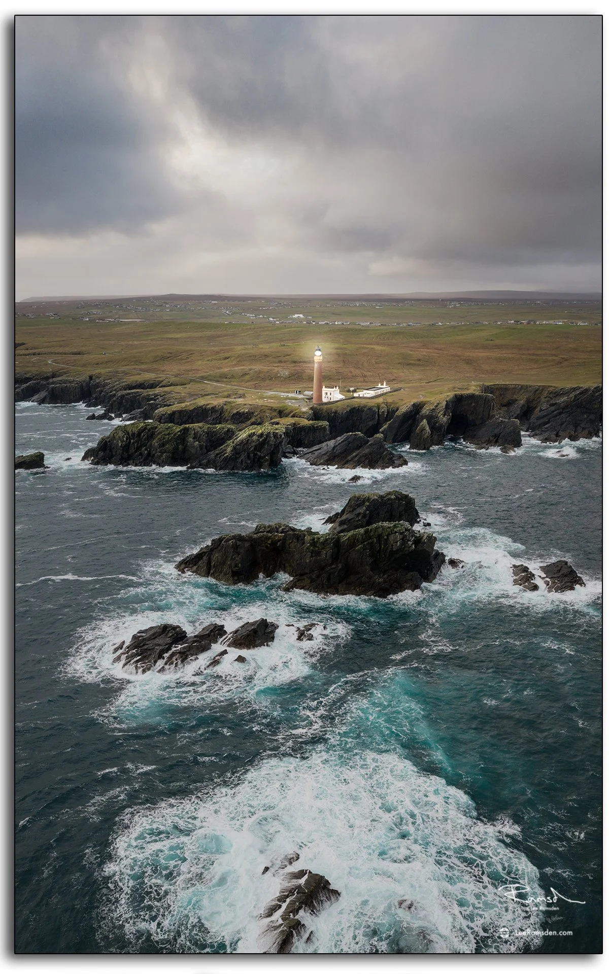
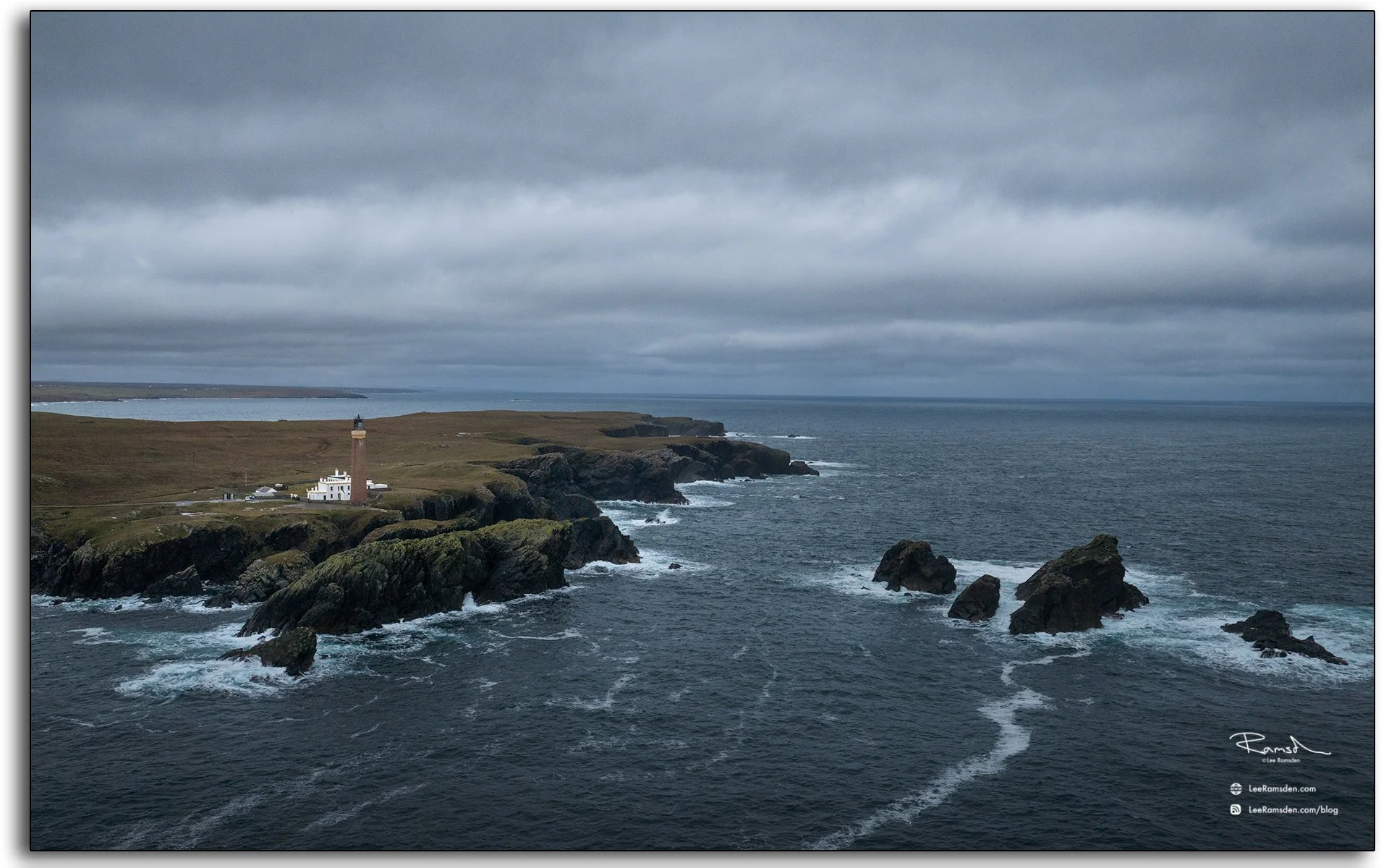
Aerial view of the Butt of Lewis lighthouse on the Isle of Lewis, Scotland, surrounded by dramatic cliffs and crashing Atlantic waves under moody skies.

The Butt of Lewis Lighthouse marks the very northern tip of the Outer Hebrides — officially one of the windiest spots in the UK. It was built in 1862 by David Stevenson, part of the famous family of lighthouse engineers, using local red brick from Runcorn. The design has stood up to more than a century and a half of brutal Atlantic weather — a proper testament to Scottish engineering.
Aerial view of the Butt of Lewis lighthouse on the Isle of Lewis, Scotland, surrounded by dramatic cliffs and crashing Atlantic waves under moody skies.

The lighthouse stands 121 feet tall and guards the point where the Atlantic Ocean meets the Minch. Its beam still cuts through the dark nights, warning passing vessels of the rugged coastline that’s claimed many ships over the years.

Just south of the lighthouse, the cliffs are dramatic — sheer drops, sea stacks, and the kind of coastal views that make you feel very small. We parked the van overlooking the waves for the night. The wind was relentless, but waking up there, with the surf hammering the rocks below, was worth every shudder of the camper.
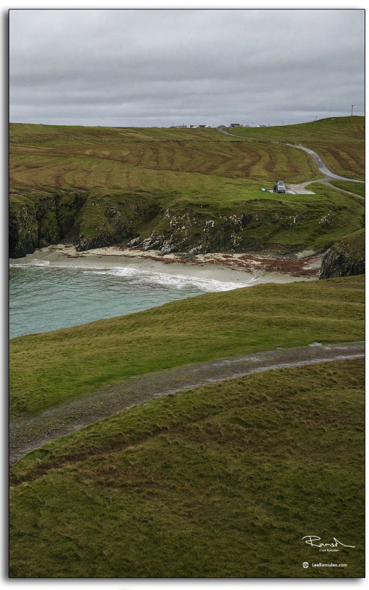
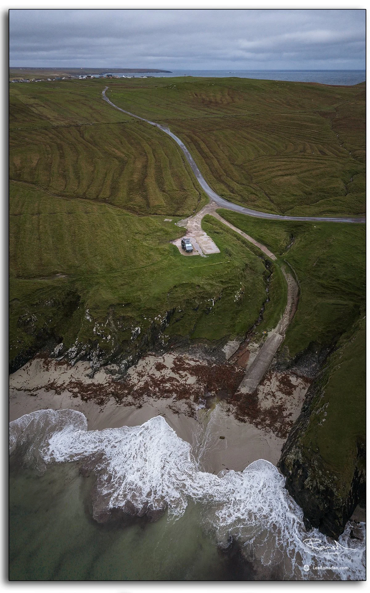
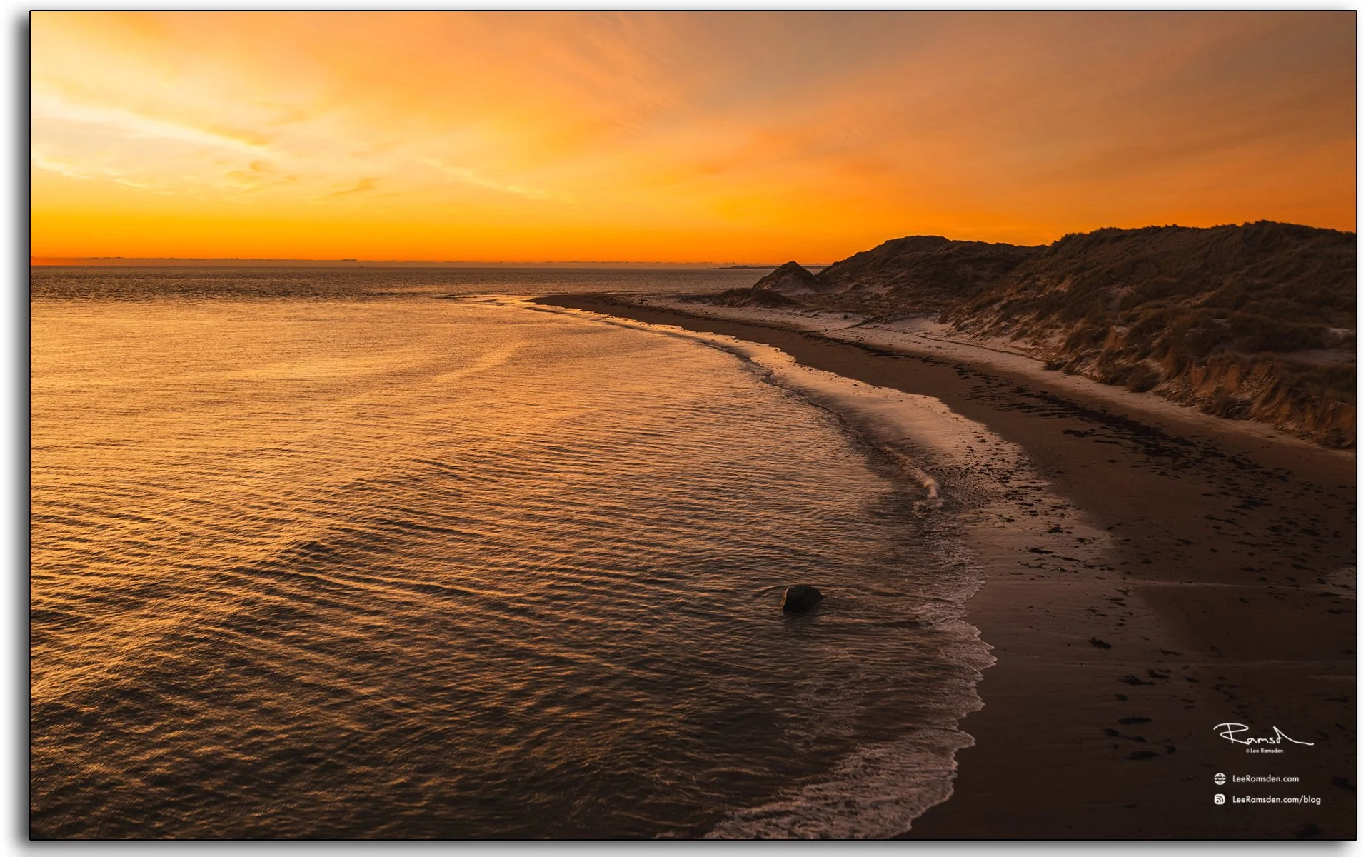
Aerial view of a secluded beach and winding road near the Butt of Lewis, Isle of Lewis, Scotland, showing rugged cliffs and Atlantic waves

It’s easy to forget, looking at this remote headland, how vital places like this once were — guiding mariners through fog and storm before GPS or radar existed. The Butt of Lewis still feels like a working part of the coastline’s history.

From ancient standing stones to lighthouses that still face down the North Atlantic, the Outer Hebrides hold layers of human endurance.

See more coastal and maritime photography in my Wind Industry and Places collections.
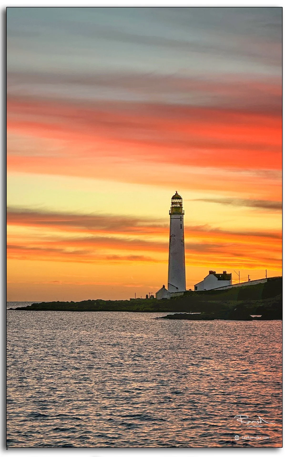
Scurdie Ness Lighthouse – Changing Light Over Montrose

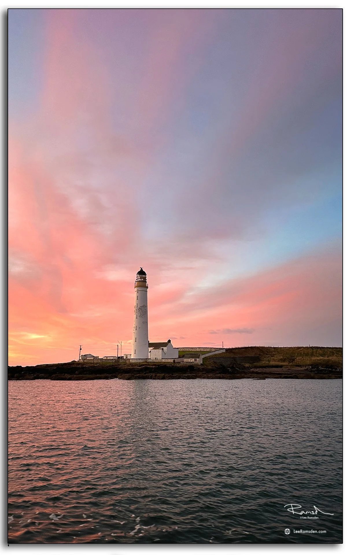
Scurdie Ness Lighthouse glowing at sunset with orange sky over Montrose
Scurdie Ness Lighthouse against pastel pink dusk sky in Montrose

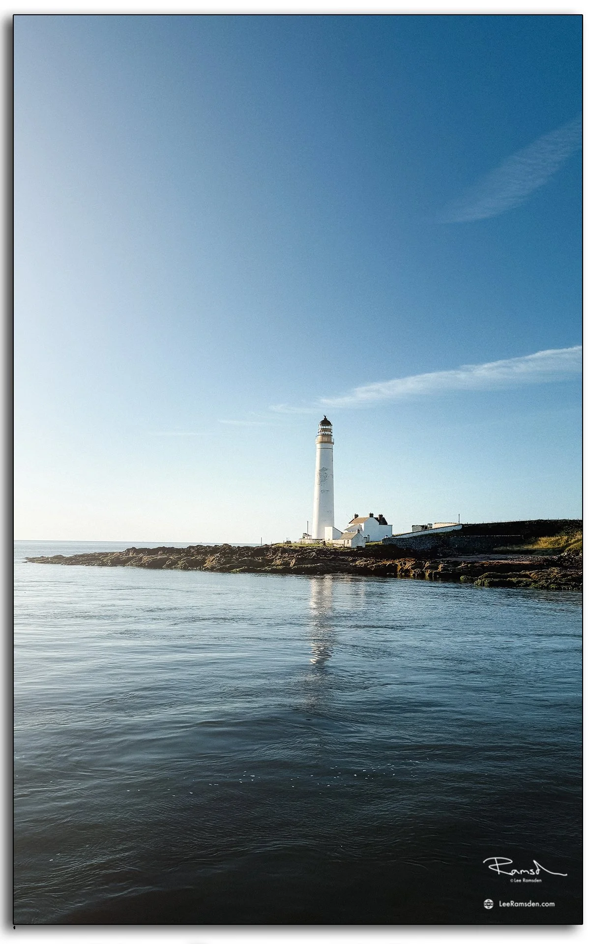
The Scurdie Ness Lighthouse at Montrose is always a rewarding subject to capture, no matter the conditions. From the calm blue skies of a bright morning, through the soft pastel tones of dusk, to the dramatic hues of a fiery sunset, this landmark never fails to deliver.

Scurdie Ness was built in 1864, designed by David and Thomas Stevenson (Northern Lighthouse Board).

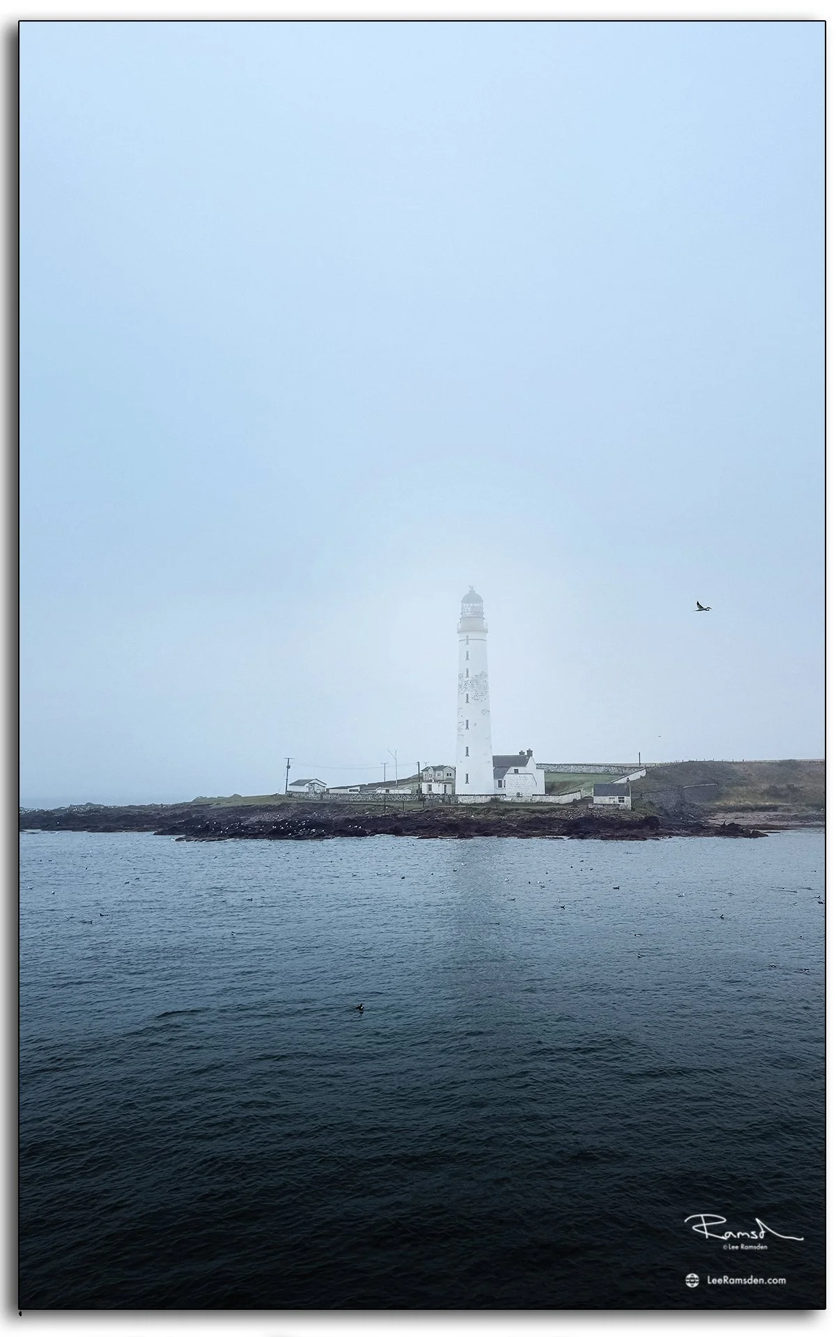
On these visits, the lighthouse stands firm against shifting skies – sometimes shrouded in sea mist, other times glowing in evening light. Each frame tells a slightly different story, shaped by the changing weather and the mood of the North Sea.

All images shot on iPhone from the water.

Scurdie Ness Lighthouse Montrose with calm blue skies and reflection in the sea
Scurdie Ness Lighthouse shrouded in sea mist on the Angus coast

The changing weather and the angle of light are reason enough to keep returning.

shot across various visits in early 2026

As always, more of my coastal work can be found in my Places collection.

Cromarty Lighthouse on the Black Isle

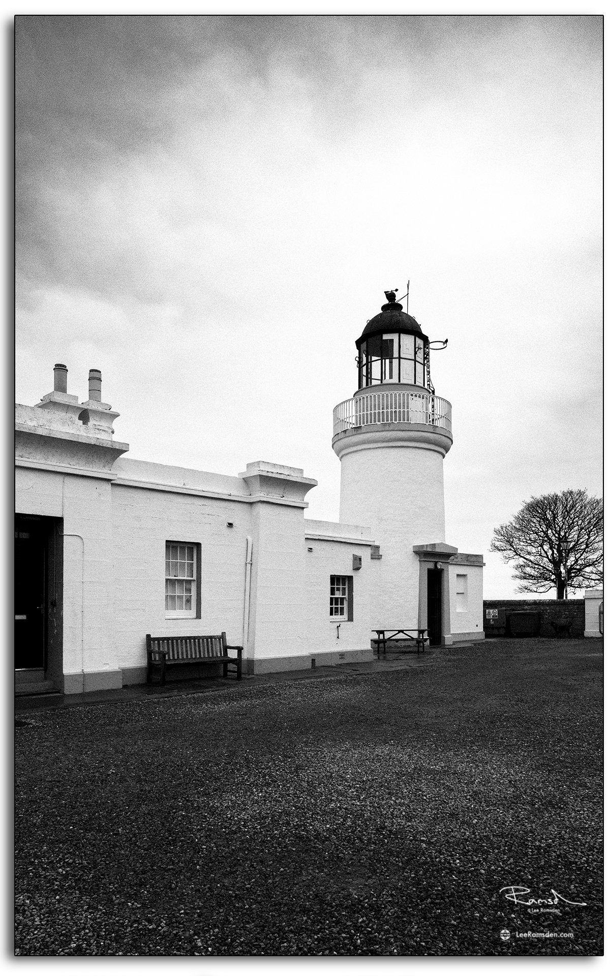
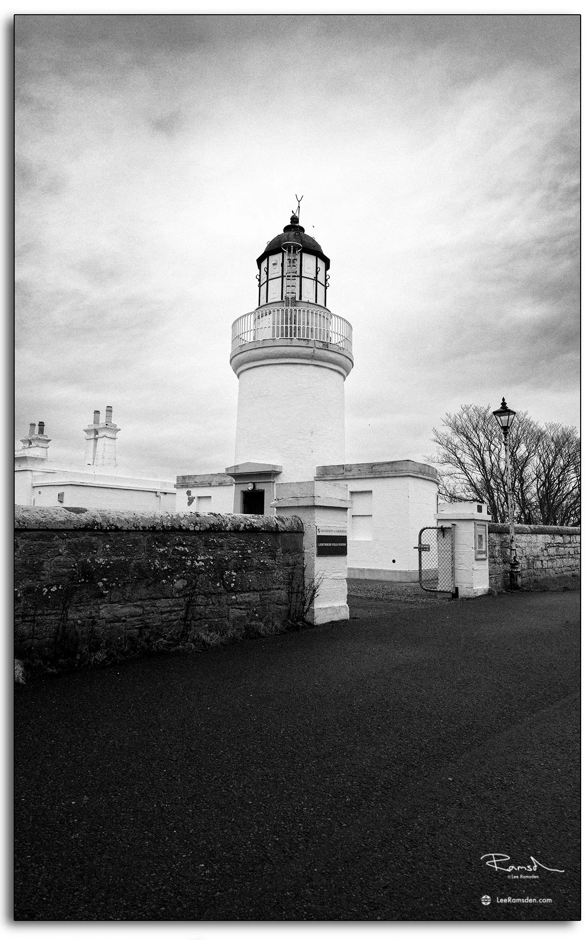
These photographs were taken in Cromarty on the Black Isle, looking at the lighthouse from two slightly different angles. The monochrome treatment felt right for this set. It gives the building a more documentary look and pulls it closer to its working history rather than presenting it as a purely scenic coastal landmark.

Cromarty Lighthouse was first established in 1846 to guide vessels from the Moray Firth into the Cromarty Firth. It was designed by Alan Stevenson, part of the famous Stevenson family of lighthouse engineers. 

The light later became automatic in 1985, and it was withdrawn from service in 2006. After decommissioning, the site passed into academic use, and the buildings are now associated with the University of Aberdeen’s Lighthouse Field Station

That history gives the site more weight than a simple lighthouse stop on the coast. It stood at an important entrance to the Cromarty Firth, an area long valued for its sheltered waters and maritime importance. Even now, the building still carries that sense of purpose. 

Cromarty has no shortage of history, but the lighthouse is one of the clearest reminders that this small town was connected to much larger routes, movements and industries at sea.

Rattray Head Lighthouse at Sunrise – Coastal Photography in Aberdeenshire

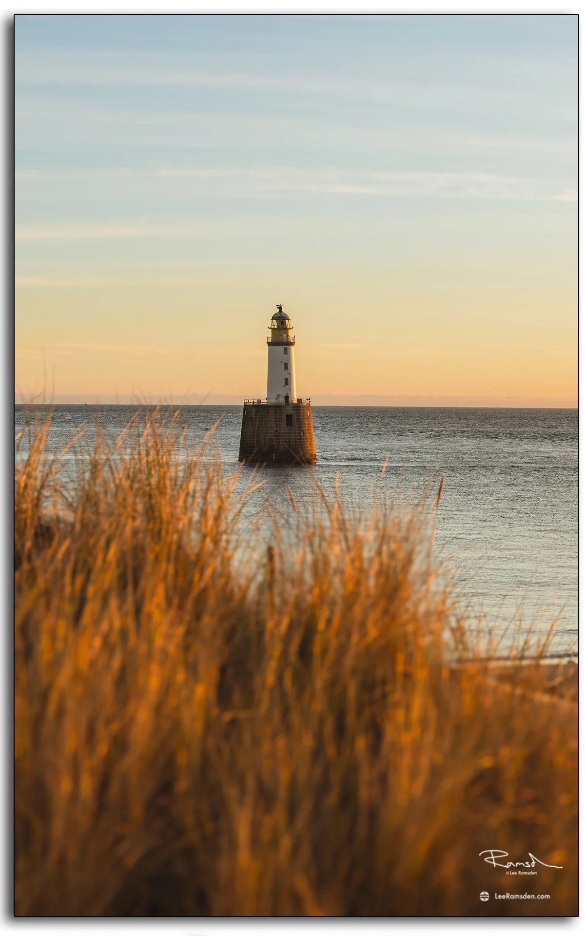
photograph of Rattray Head Lighthouse at sunrise, captured from the Aberdeenshire coast of Scotland.

Rattray Head Lighthouse sits on a low promontory on the Buchan coast of Aberdeenshire, standing in open water just offshore. Built in 1895 and reaching 120 feet in height, it has guided vessels navigating the treacherous sands around Rattray Head for over 130 years. The area around the head has a long history of shipwrecks, which drove the original decision to build the lighthouse.

These photographs were taken at sunrise, when the first light catches the tower and the surrounding sea is at its calmest. The conditions allowed for clear reflections and strong contrast between the white stonework and the water around the base.

Getting to the lighthouse on foot involves crossing tidal sands, so timing matters — and the reward is a perspective that most visitors to the Aberdeenshire coast never see. The lighthouse is now automated and managed by the Northern Lighthouse Board.

For more coastal and lighthouse photography from Scotland, visit the Places gallery.