Scotland

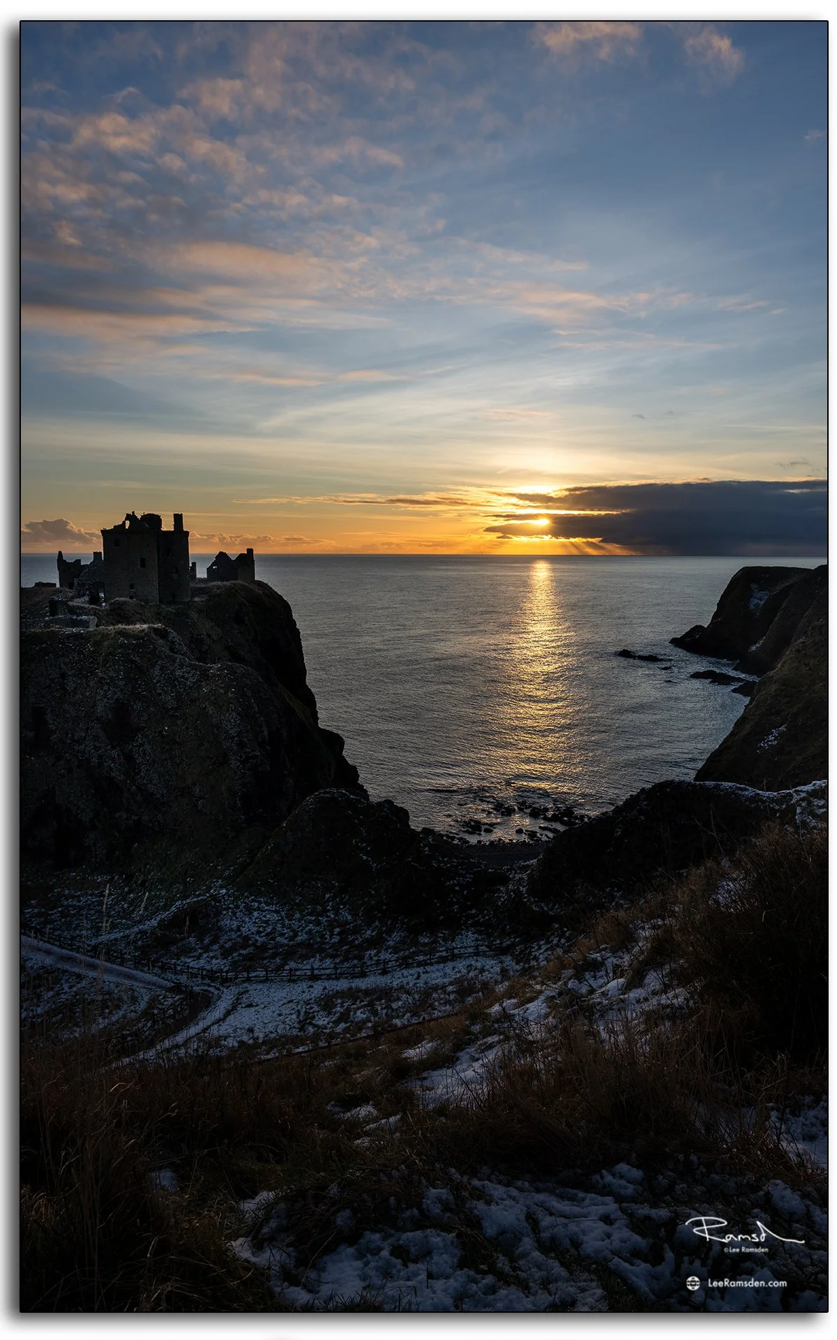
Dunnottar Castle Sunrise – Drone Photography in Stonehaven, Scotland

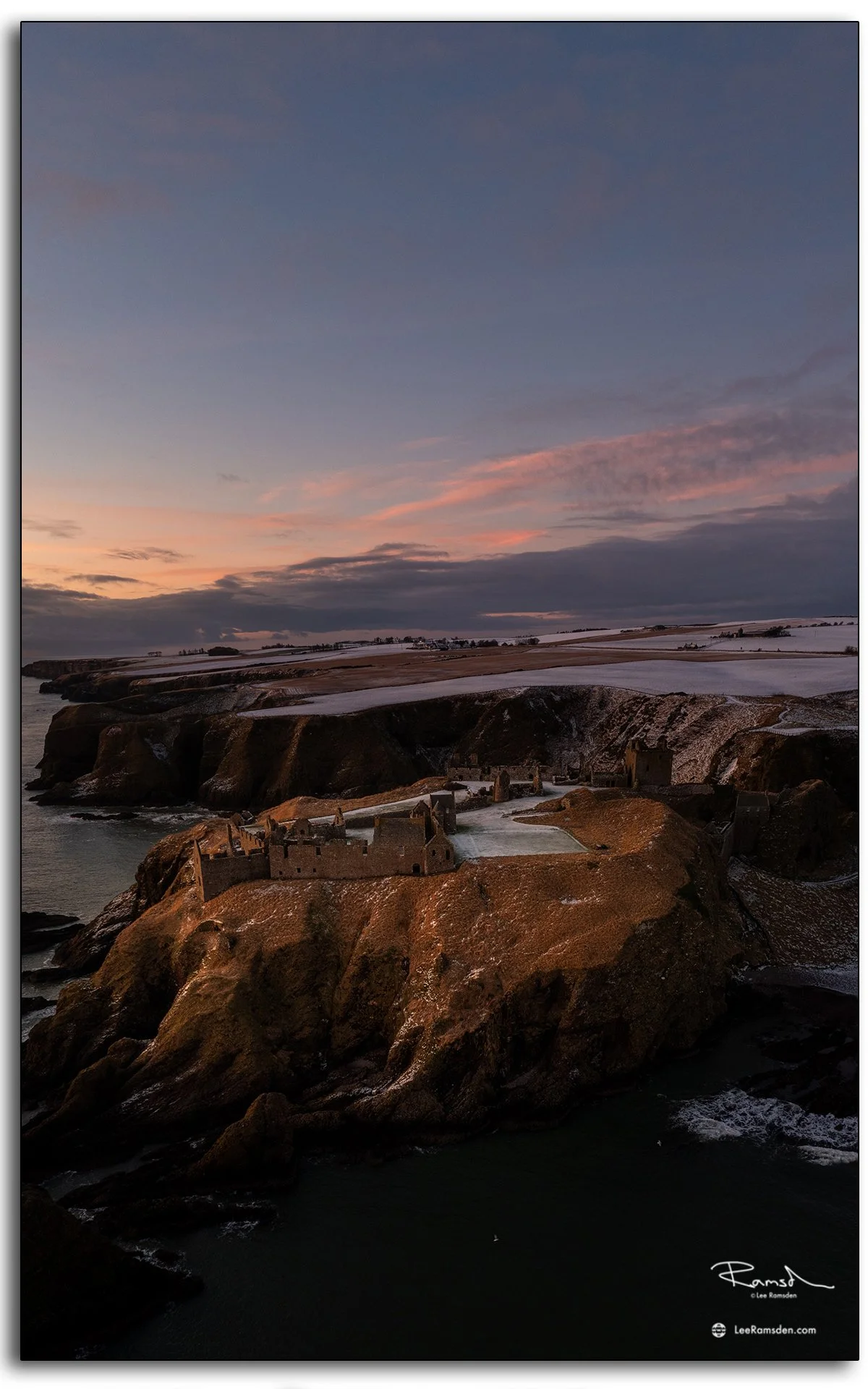
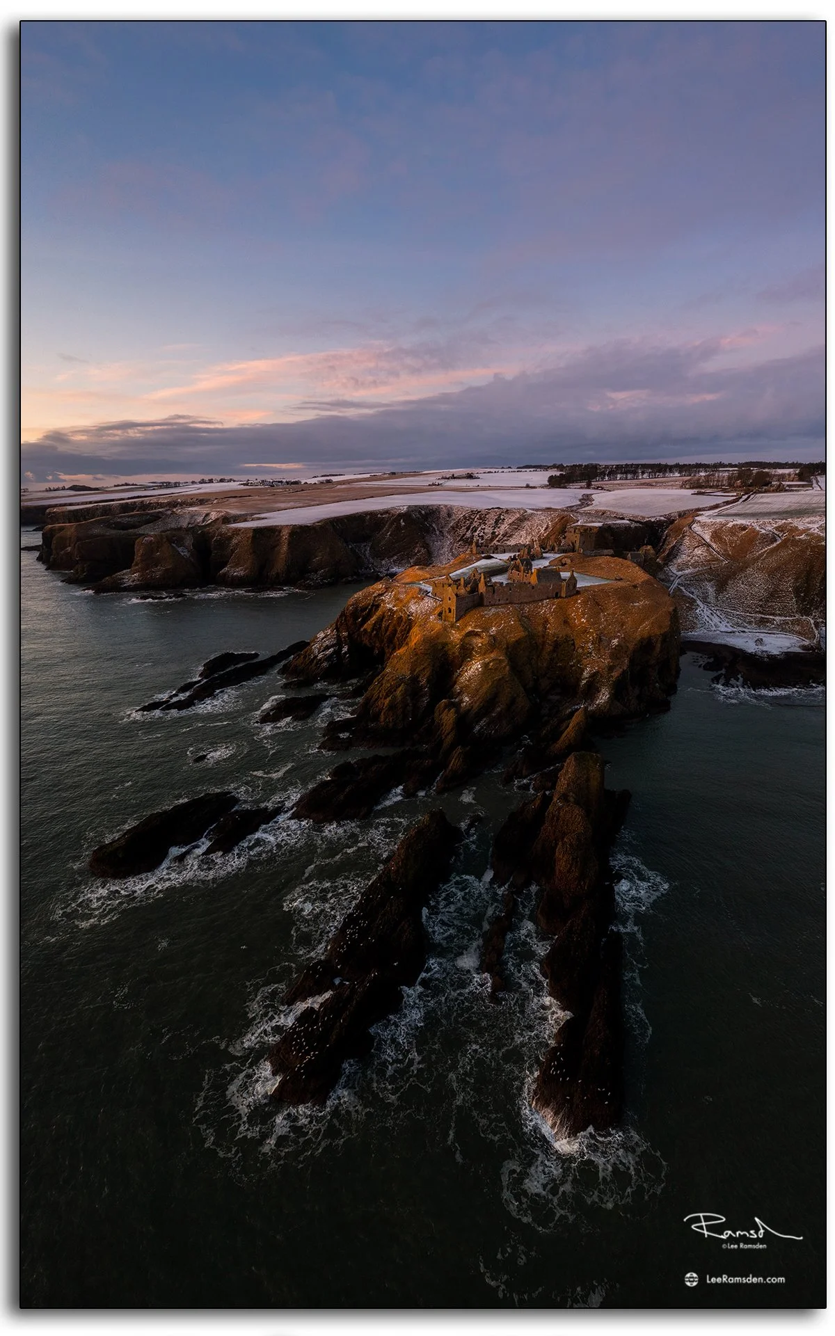
Drone photograph of Dunnottar Castle at sunrise in Stonehaven, Scotland, showing the ruins on cliffs above the North Sea.

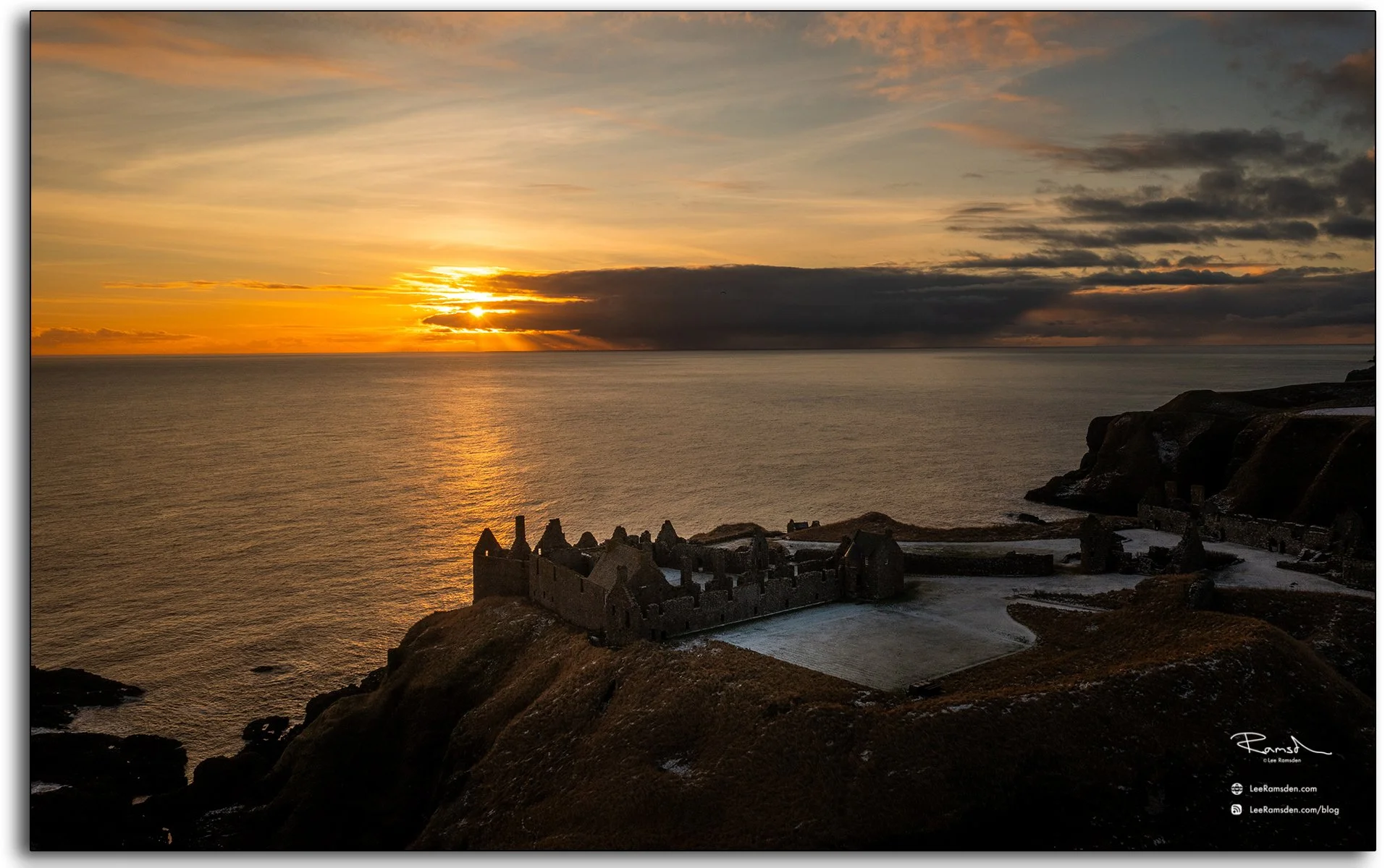
Few locations on Scotland’s east coast carry as much atmosphere as Dunnottar Castle. Perched high above the North Sea, the ruins dominate the headland and remain one of the country’s most iconic coastal landmarks.

Captured by drone at sunrise, the first light revealed texture in the stonework and depth across the cliffs. The dramatic shadows emphasise both the scale of the castle and the rugged coastline that surrounds it.
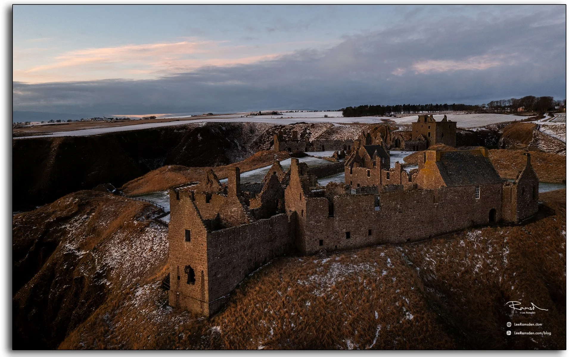
The surviving buildings are largely from the 15th and 16th centuries, but the site is believed to have been fortified in the Early Middle Ages.
Dunnottar is best known as the place where the Honours of Scotland, the Scottish crown jewels, were hidden from Oliver Cromwell's invading army in the 17th century.
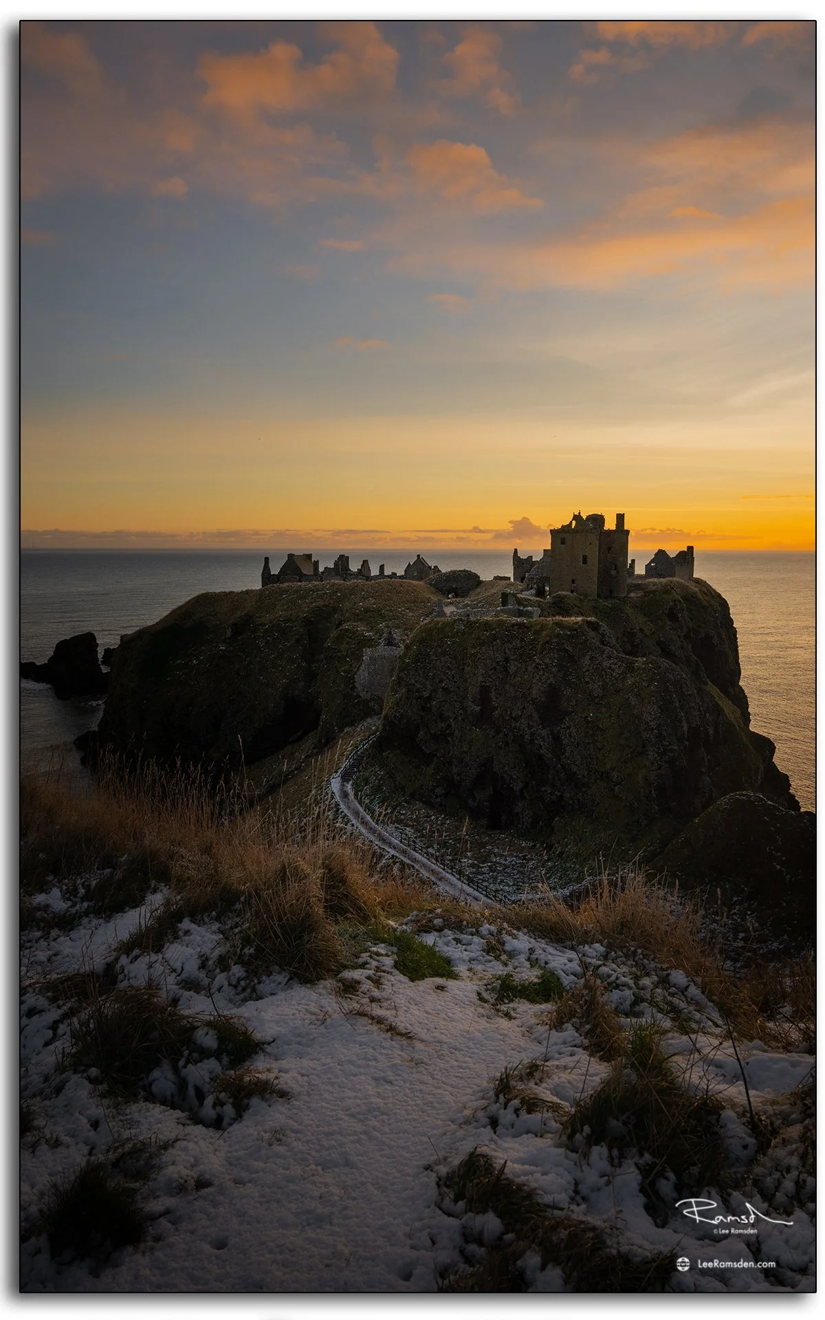
This work adds to my wider series on Scotland’s coastal landmarks, using drone photography to document places where history and landscape meet.

Rattray Head Lighthouse at Sunrise – Coastal Photography in Aberdeenshire

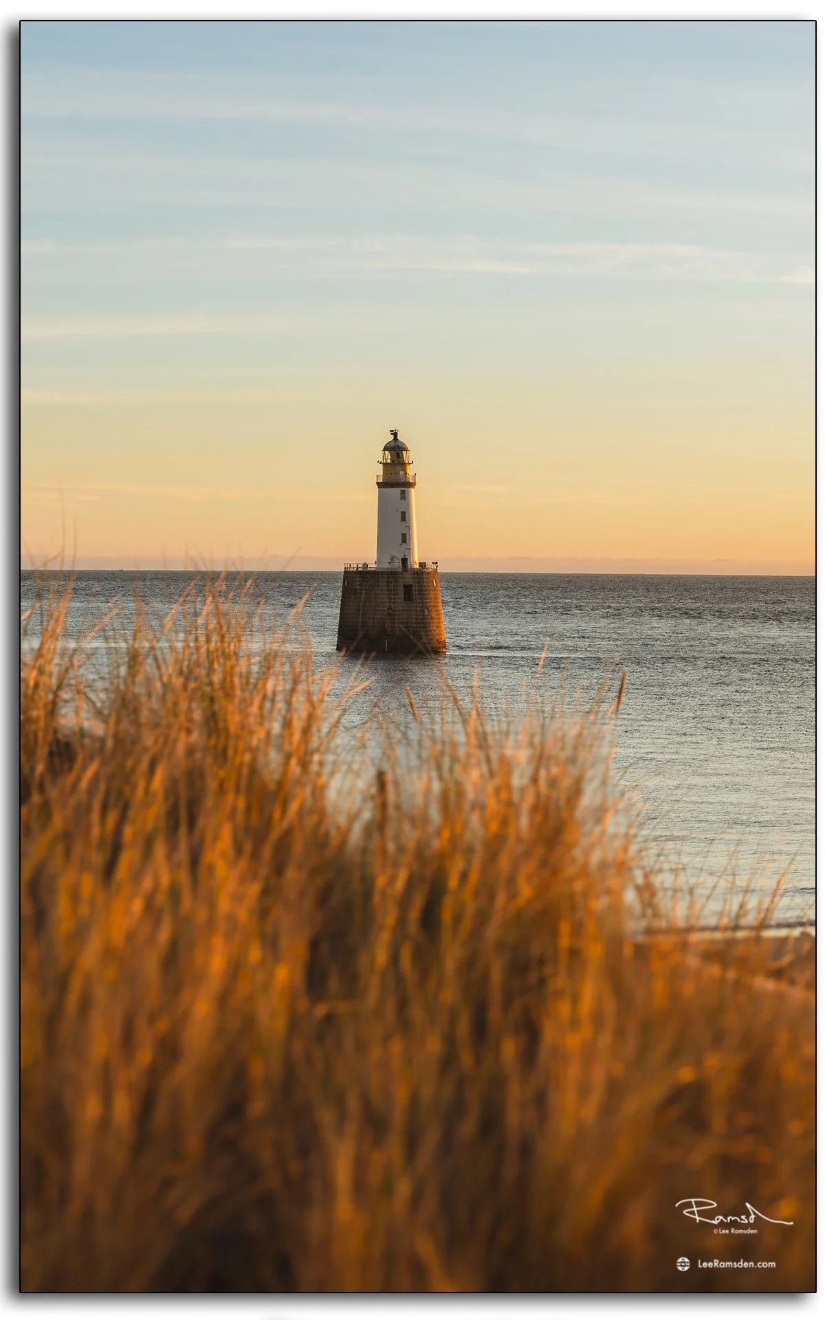
photograph of Rattray Head Lighthouse at sunrise, captured from the Aberdeenshire coast of Scotland.

Rattray Head Lighthouse sits on a low promontory on the Buchan coast of Aberdeenshire, standing in open water just offshore. Built in 1895 and reaching 120 feet in height, it has guided vessels navigating the treacherous sands around Rattray Head for over 130 years. The area around the head has a long history of shipwrecks, which drove the original decision to build the lighthouse.

These photographs were taken at sunrise, when the first light catches the tower and the surrounding sea is at its calmest. The conditions allowed for clear reflections and strong contrast between the white stonework and the water around the base.

Getting to the lighthouse on foot involves crossing tidal sands, so timing matters — and the reward is a perspective that most visitors to the Aberdeenshire coast never see. The lighthouse is now automated and managed by the Northern Lighthouse Board.

For more coastal and lighthouse photography from Scotland, visit the Places gallery.

St Mary’s Chapel, Rattray – Historic Church Photography in Aberdeenshire

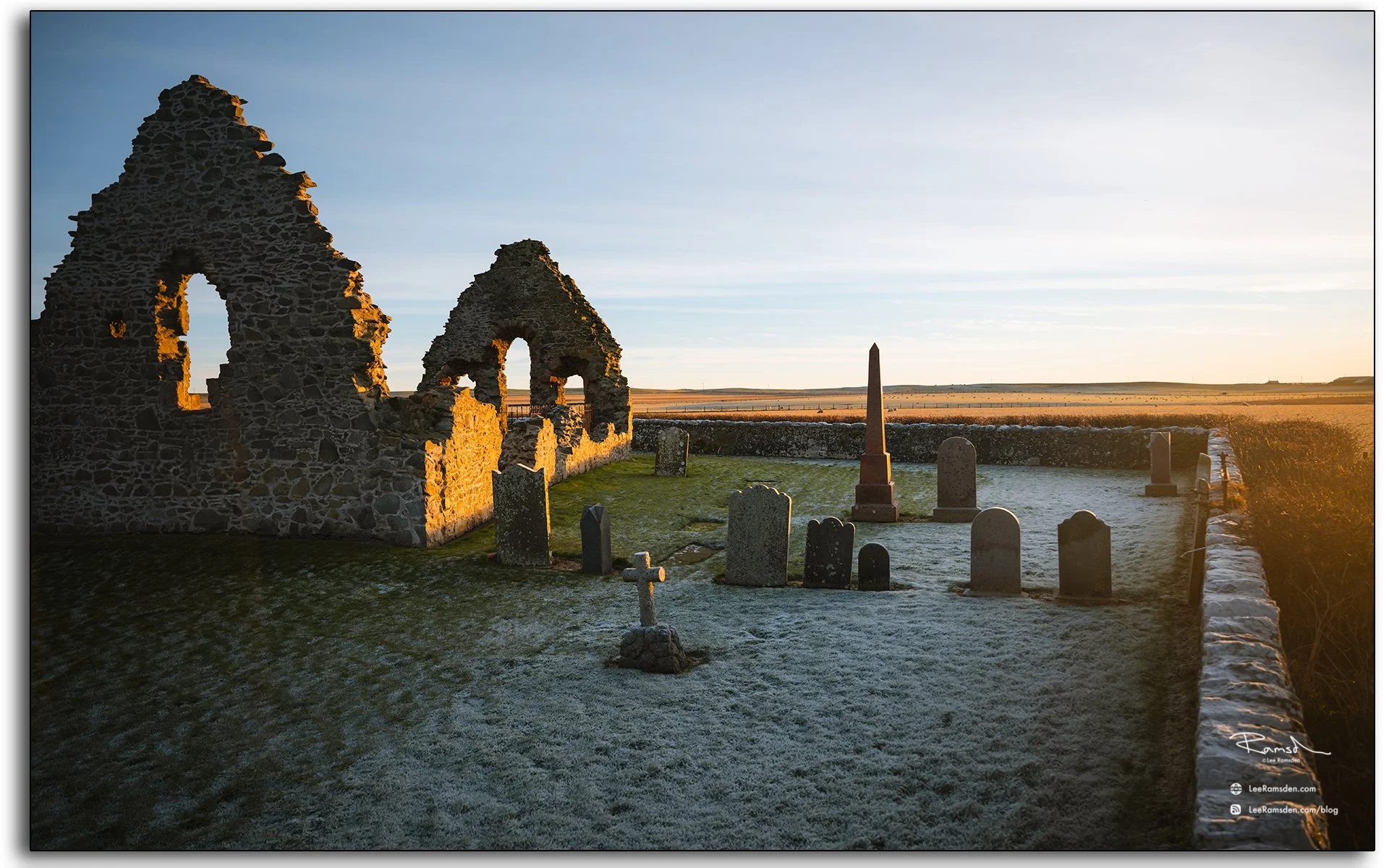
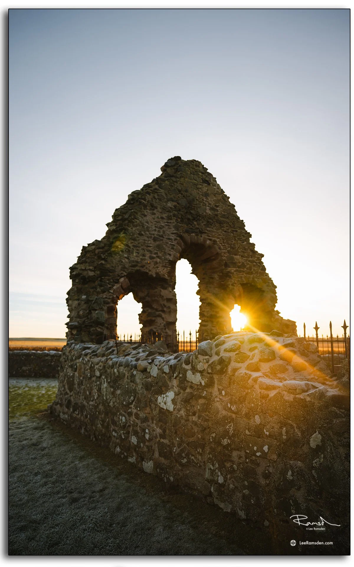
photograph of St Mary’s Chapel in Rattray, Aberdeenshire, Scotland, believed to date back to the early 13th century.

Tucked away in the Buchan countryside near Rattray, St Mary's Chapel is thought to date back to around 1214, making it one of the older surviving ecclesiastical ruins in the north-east of Scotland. Its weathered stone walls are a reminder of a time when this part of Aberdeenshire was a more substantial centre of local life.

These photographs focus on the texture of the stonework and the way the structure sits in the landscape — collapsed in places, but still carrying the proportions and form of a medieval chapel. The site has an unrestored quality to it that sets it apart from more managed heritage locations.

This visit forms part of an ongoing project documenting historic churches and chapels across Scotland, many of which sit quietly in the landscape with little formal recognition. For more church photography, see the Places gallery and the dedicated church posts in the blog.

Scurdie Ness Lighthouse – Coastal Photography in Montrose, Scotland

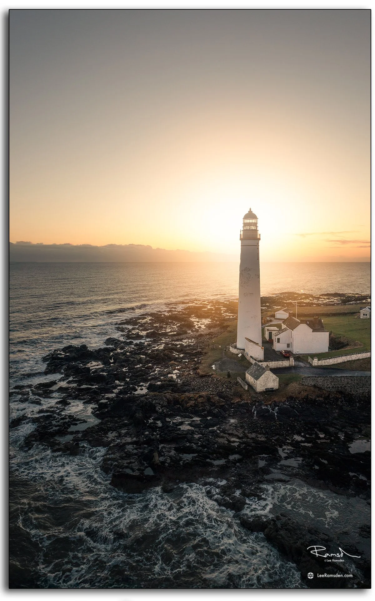
Drone photograph of Scurdie Ness Lighthouse on the Montrose coast, built in 1870 to prevent shipwrecks near the River South Esk.

Built in 1870 after numerous shipwrecks, Scurdie Ness Lighthouse stands at the mouth of the River South Esk, guiding vessels safely along the east coast of Scotland.

Photographed in freezing conditions, these images show the tower against clear skies, highlighting the engineering that still defines the Montrose shoreline today.

Scotland’s lighthouses remain some of the most practical yet visually striking coastal landmarks. This shoot adds to my ongoing series on maritime structures.

Arbroath Harbour — Coastal and Historical Harbour Photography

Red sandstone sea walls and calm reflections at Arbroath Harbour at sunrise, capturing historical coastal architecture.

Arbroath Harbour has carried centuries of history in its red sandstone walls, medieval origins and weather-worn docks. I’ve visited this place several times; when the sky clears and the water calms, the textures of sea, stone, and light combine in ways a single visit can’t capture.

Open wrought iron dock gate at Arbroath Harbour under dawn sky, showing wet dock heritage and structure.
Boats moored inside Arbroath Harbour with pier and sea wall at first light, reflecting maritime roots.

The harbour, medieval in origin, was improved by John Gibb in 1838-39 and extended by James Leslie in 1841-46 to include 2.4 hectares enclosed by red sandstone sea walls. The old 1725 harbour was converted into a wet dock in 1877 — the wrought iron gates remain, now kept open to the North Sea.

Today’s shoot shows weathered stone, calm reflections, the contrast between structure and water, and the soft lines of dawn light reaching the sea wall and boats. Where light hits the sandstone wall or the gates, there’s depth; in the shadows and water, quiet shapes. These images are about material, history, and stillness.

Close-up textures of stone harbour walls and weathered masonry at Arbroath Harbour, photographed in soft light.
Harbour structure reflections in still water at Arbroath Harbour at sunrise, showing symmetry and calm.

Harbours like this connect past and present, where centuries of maritime life continue in stone, wood, and tide. For more harbour and coastal photography with structure and mood, see my Places and Drone galleries.

Arbroath Pilot Office And Signal Lighthouse.

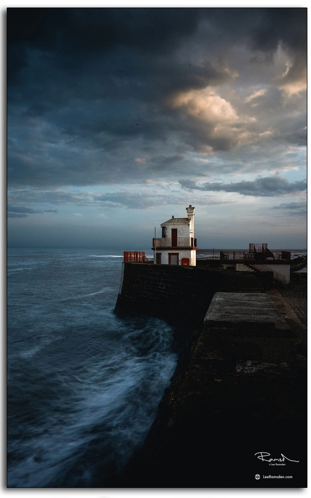
The Arbroath Pilot Office and Signal Lighthouse stand at the entrance to Arbroath Harbour — two of the most recognisable structures on the town's waterfront. The Signal Lighthouse, with its distinctive white tower, has marked the harbour entrance for vessels approaching along the Angus coast for well over a century.

Arbroath Harbour itself has medieval origins, developed as a working port serving the town and the broader coastal trade of the east coast. The harbour was substantially improved in the 18th and 19th centuries, with the stone quays and piers that define it today largely the product of Victorian-era construction.

These photographs focus on the character of the harbour buildings rather than the wider harbour activity — the texture of the stonework, the lighthouse structure, and the way the buildings sit in relation to the water and the sky. The conditions at the time of shooting gave strong contrast and clean light across the stone.

For more photography from Arbroath and the Angus coast, explore the Places gallery and the Arbroath tag in the blog.

Arbroath cliffs trail.

Imagine standing atop rugged cliffs, with the North Sea crashing below and the wind whipping through your hair.

Welcome to the Arbroath Cliffs Walk, where nature’s raw beauty meets Scotland’s storied coastline.

The Arbroath Cliffs Walk stretches along Scotland’s east coast, offering a 4-mile trail filled with dramatic cliff faces, natural rock formations, and panoramic sea views.

Have you walked the Arbroath Cliffs? Share your favorite spots or good photography walk in the comments on my instagram @lee_ramsden as I would love to hear your thoughts.

Thanks

Lee